Search
Items tagged with: 30DayMapChallenge
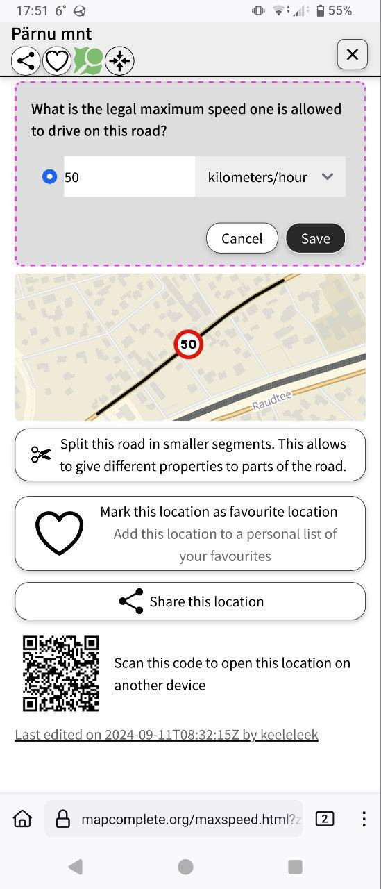
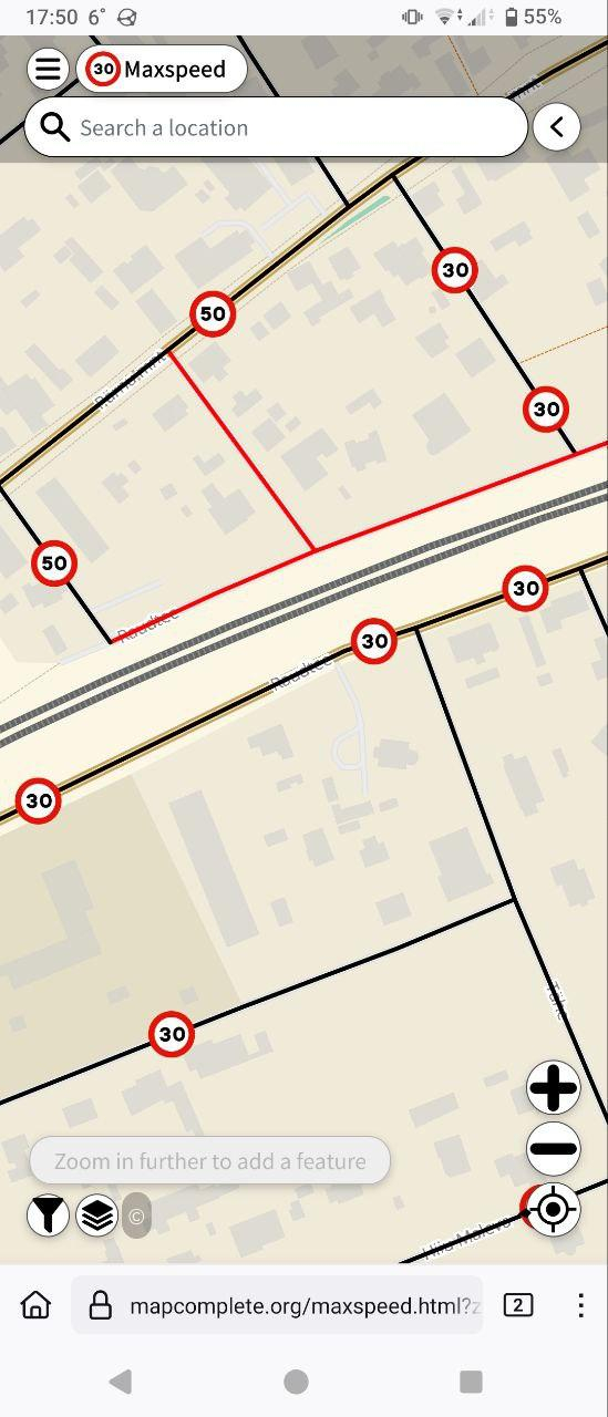
In the past couple weeks, I'm increasingly looking towards @MapComplete : its thematic editing and linear geometry tools would be very helpful when I finally get myself to survey speed limits in my area.
Every Door can do much, but not all. That's why many mappers have multiple apps on their phones: StreetComplete, Organic Maps, OsmAnd, Vespucci, Go Map... And MapComplete in a browser tab.
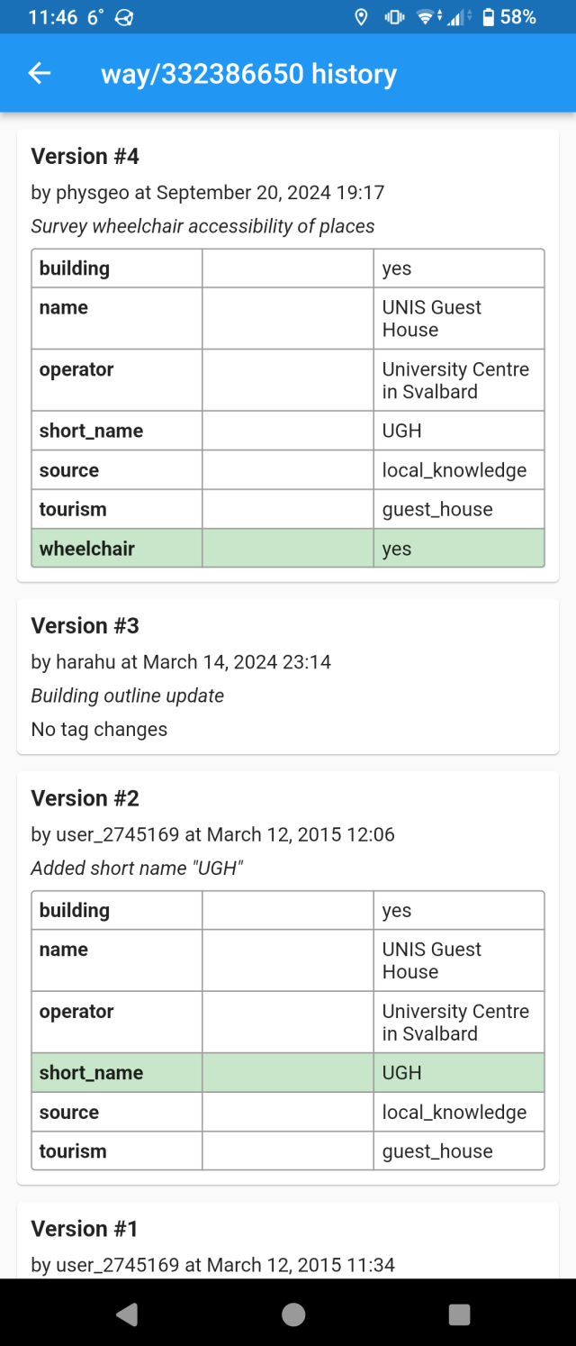
How do I know who and when edited a place? On the editor pane header there is a clock button, which shows the object history, highlighting tag changes. Go back in time and see how OSM grew!
Thanks to George Honeywood for submitting a pull request adding that panel.
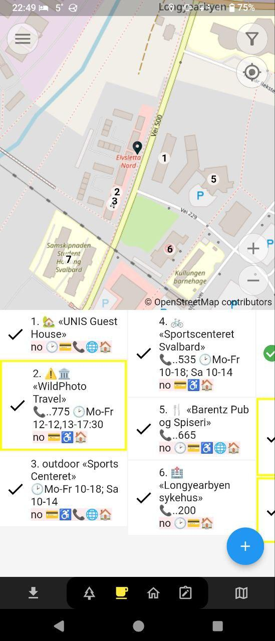
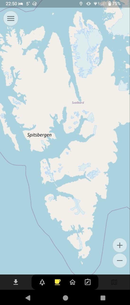
I was always fascinated with how far OSM reaches. You can zoom out the map in Every Door to the max, scroll to the Arctic, zoom back in, and find a town at 78° latitude where every cafe and hotel are mapped. And confirmed just a few months ago — albeit with @streetcomplete .
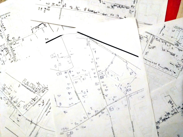
Drawing maps with pen and paper is fun — and Every Door removes that completely!
I mean, it was great going around and marking stuff on paper, but having to enter everything in JOSM when you're back home was daunting.
Hence, everything we did on paper before, now is possible inside Every Door. It makes surveying so much more efficient and rewarding! And no more printing and wasting trees.
While LLM output looks promising and true, there is always something wrong — and you won't find it unless you have experience in the subject area.
For carthography AI is especially bad, because nobody writes proper documentation, so there is nothing to train on.
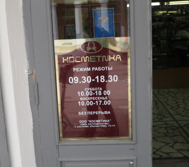
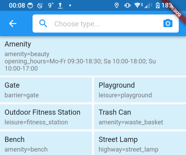
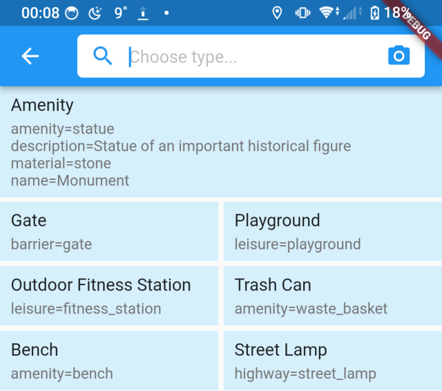
Here are three examples of Ian's LLM photo-to-tags bridge integrated into Every Door. While opening hours detection works great, everything else... Can you spot what's wrong in each tag list?