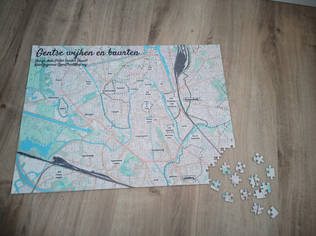
I wanted to learn the names of the neighbourhoods in #Ghent, so I made me a #puzzle. I added the neighbourhoods in #OpenStreetMap , then made a custom theme in #MapComplete and use the 'export as PNG'-functuon. The background is a modified stylesheet for @protomaps
This entry was edited (1 year ago)

Harry Wood
in reply to Pietervdvn • • •Pietervdvn
in reply to Harry Wood • • •Steven Feldman
in reply to Pietervdvn • • •Pietervdvn
in reply to Steven Feldman • • •Steven Feldman
in reply to Pietervdvn • • •