If you write about the messy reality behind "free" internet services: we're seeing #OpenStreetMap hammered by scrapers hiding behind residential proxy/embedded-SDK networks. We're a volunteer-run service and the costs are real. We'd love to talk to a journalist about what we're seeing + how we're responding. #AI #Bots #Abuse
I noticed that, when an Italian street is called "Viale XYZ" (example: "Viale Marebello"), then the prefix "**Viale**" is not omitted correctly.
The "le" part remains by mistake.
Everyone knows Streetcomplete, but have you heard of MapComplete yet? What a nice project, i recently found. Contribute to Open Street Map theme and project based.
Y aprovecho para decir que lo que me encanta de esa app es que te guía con preguntas a la hora de rellenar la información del sitio que estás creando o actualizando.
Attached: 4 images
10 contributors uploaded 65 images.
Images in this thread are randomly selected from them and were made by:
Awo
@mnalis@mastodon.online
Thomal84
Đuro Jiří
ntzm
@plicploc@pixelfed.social
sparky100
@Edent@mastodon.
We've released V21.2, as our 'traditional' end-of-year release.
There are some minor changes relative to the beta, most notably the addition of a warning if you are moving a way that has a majority of its nodes off screen, the minimum number of nodes for the check to be active can be set and the default is 5.
The #OpenStreetMap iD editor is now published as an npm package 🎉 npmjs.com/package/@openstreetm… - instead of merging iD releases into the website code, we just bump a dependency. Easier releases for the website and iD dev teams. Huge thanks to @tyr and all involved! 🚀 🗺️
Oooohhhh... First of all, road works and similar are somewhat temporary, something that #OpenStreetMap generally doesn't map. Or rather, there is no consensus on what duration road works should take before we do map them.
I had another training at my office for people interested in joining the magical free world of #OpenStreetMap. Every time I have different discussion from the attendees, even I do the same workshop. This time was not different.The main focus was now around the need to contribute to #OSM since it's not so widely used. A great topic, indeed!
When Liz and I created the OpenBenches website, it was just designed to be a fun way for people to record memorial benches. Since then things have got out of hand and we now have over thirty-nine thousand benches recorded!
Our plan was never to compete with something like OpenStreetMap. The OSM project is vast, complex, and…
Last year the Geospatial devroom only had half a day at FOSDEM, and we still ended up with a packed room and a queue down the corridor.
This year we have the whole of Saturday to ourselves, so if you have something geo-flavoured to share, whether it is maps, data, tools, clever hacks, fieldwork tech, city projects, OSM magic, climate work or anything else, now is the moment to submit a proposal.
Lastly @trigpoint mapped most of the benches we saw.
A plea to all #OpenStreetMap folk: please map benches. Knowing where they are can help people like me with COPD and other breathing conditions. Benches make all the difference as to whether a walk is pleasant or not, and sometimes whether one is possible at all.
I find hat still being able to walk 8-9 km walk sustain nmy mental health. Any infrastructure which helps is invaluable.
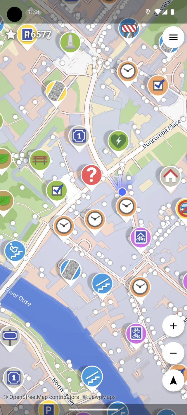
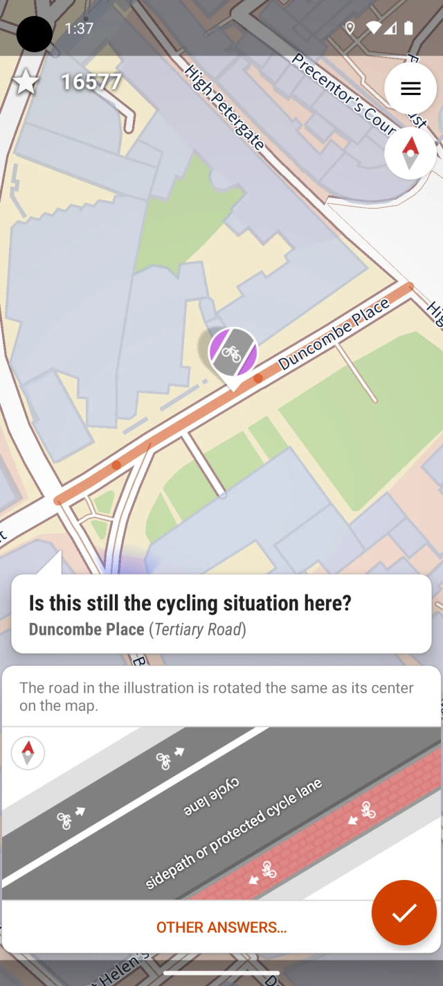
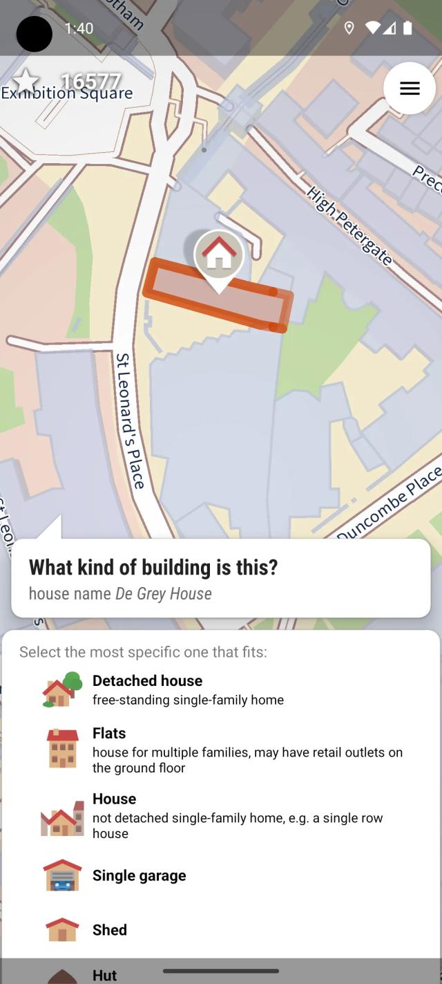
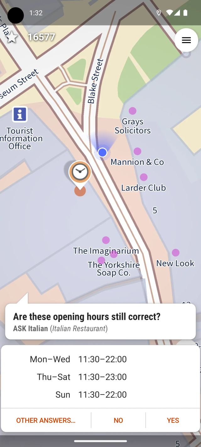
StreetComplete is a really fun and accessible way to contribute to OpenStreetMap from an Android device - walk around in your local neighbourhood (or anywhere really) and solve 'quests' by answering questions about the things around you!
You don't need to learn anything about mapping conventions, or infrastructure, or about the more complex mapping tools that exist for OpenStreetMap. The app will explain everything to you that you need to know, when you need to know it, and ask easily understandable questions with reference pictures for the answers.
The only setup needed is to make an OSM account and log into it from the app, so that it can upload your answers - and you can also do that at any later time, after trying out the app without an account for a while first. You can just install it and go outside right away!
The app doesn't need any cellular internet connection; it can work offline and synchronize your answers once you reach a place with eg. WiFi. It's also quite performant, and should run well even on lower-end phones. There is also a 'multiplayer' option that lets you split up in teams and each tackle different quests in the area.
alors dans le même genre tu as aussi #mapcompletemapcomplete.org/ qui permet de voir, modifier ou ajouter facilement un type de données en particulier.
Ich möchte eine Empfehlung aussprechen. Ich habe mit StreetComplete eine App gefunden, mit der man auf einfache und spielerische Art und Weise zu @openstreetmap beitragen kann. Die App zeigt dir um deinen Standort herum an, wo noch Daten fehlen und mit der Beantwortung von einfachen Fragen kannst du helfen, die Kartendaten zu vervollständigen. Sehr cool! Und total easy.
That small joy when you unexpectedly come across a public bookcase that isn’t yet mapped in #OpenStreetMap .It's like a tiny treasure hunt for mappers 📚🗺️
With a few taps in an app, it’s now part of the OpenStreetMap database. The free global map of public bookcases just got a little bit better.
OpenStreetMap.org website & our mapping API will be read-only for server maintenance on the 5 October 2025 between 9:00 and 12:00 (UTC/GMT). See the time local to you: timeanddate.com/worldclock/fix… #OpenStreetMap #Maintenance 🪛 🤖
Event Time Announcer shows time for OSM.org Maintenance - Read-only - 3 hour window in locations all over the world. In London it happens on neděle 5. říjen 2025, 10:00:00.
Thanks to all the translators for providing translations. And of course, feel free to join the #translation effort to get #MapComplete into your language.
Ergänzung: Bei Hutmacher / #Utopiastadt #Wuppertal steht auch ein Bücherschrank.
Bei @MapComplete gibt es auch eine Karte für Bücherschränke, über die fehlende Schränke leicht ergänzt werden können. Damit werden die #OpenStreetMap -Daten ergänzt, so dass die Orte dann auch auf Open Book Case und allen weiteren Karten, die auf #OSM basieren dazu kommen.
I just added all three #ghostbikes (with photos) in three different spots in the small village of Dresano to #OpenStreetMap. None of them was already registered.
TIL that #Mapycom is more than just a renderer on top of #OpenStreetMap. They actually import buildings from #Overture, which #OSM doesn't consider reliable enough for automatic imports.
From what I've seen, the results are mixed in Greece, with many buildings that don't exist in reality.
#TIL iD - the #OpenStreetMap-editor on the main website - has a "tag this photo id onto the current object" for street level imagery such as @panoramax or #Mapillary
I first noticed this difference a few months back when my driving instructor couldn't find the location that I sent him (because Google Maps doesn't show it at all). Only after I added "Fairway Walk" (see Google Screenshot for the name/location) as a named road to OSM, did it get added to Google Maps. There are still apartments missing from the Google Maps though.


")