Search
Items tagged with: MapComplete
Summer 24 somewhere in Sweden.
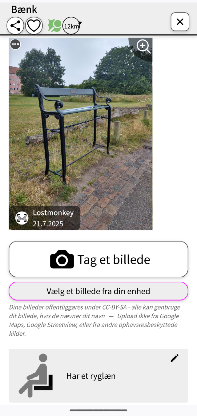
After a delicious dinner, we went for a digestive walk with the midnightsun and making some survey. Of course I used the Osmand app with Quick Action function, Streetcomplete and took pictures with Mapcomplete.
#mapping #sweden #osm #OpenStreetMap #osmandapp #streetcomplete #MapComplete
When I started mapping the first additions in the OsmaAnd app for Openstreetmap at the end of 2015, I never thought I would make 1 million changes. Entered in OsmAnd and then in Potlach2 (because it was beginner-friendly). Then later iD and other apps. Like Mapcomplete, Streetcomplete or Everydoor. 1
I can only recommend just getting started.
#osm #OpenStreetMap #osmand #MapComplete #streetcomplete #EveryDoor #Karten #Landkarte #map #opensource
Chcete si na mapě zobrazit všechny výskyty nějakého objektu (knihobudky, bankomaty, pítka, veřejná ohniště...)? Snadno to jde například s @MapComplete (mapcomplete.org/). Chybějící objekty můžete i doplňovat, podobně jako přes @streetcomplete.
#mapa #OSM #MapComplete #StreetComplete
MapComplete - editable, thematic maps with OpenStreetMap
MapComplete is a platform to visualize OpenStreetMap on a specific topic and to easily contribute data back to it.mapcomplete.org
@pa27
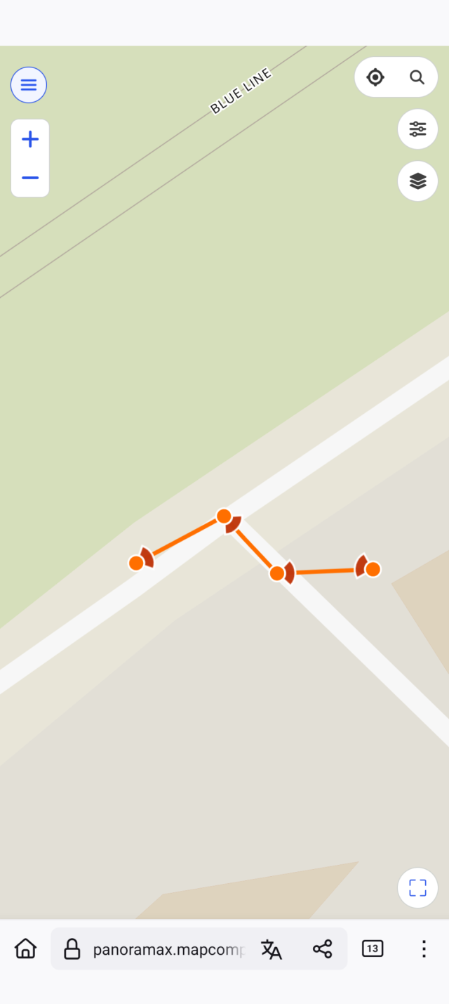
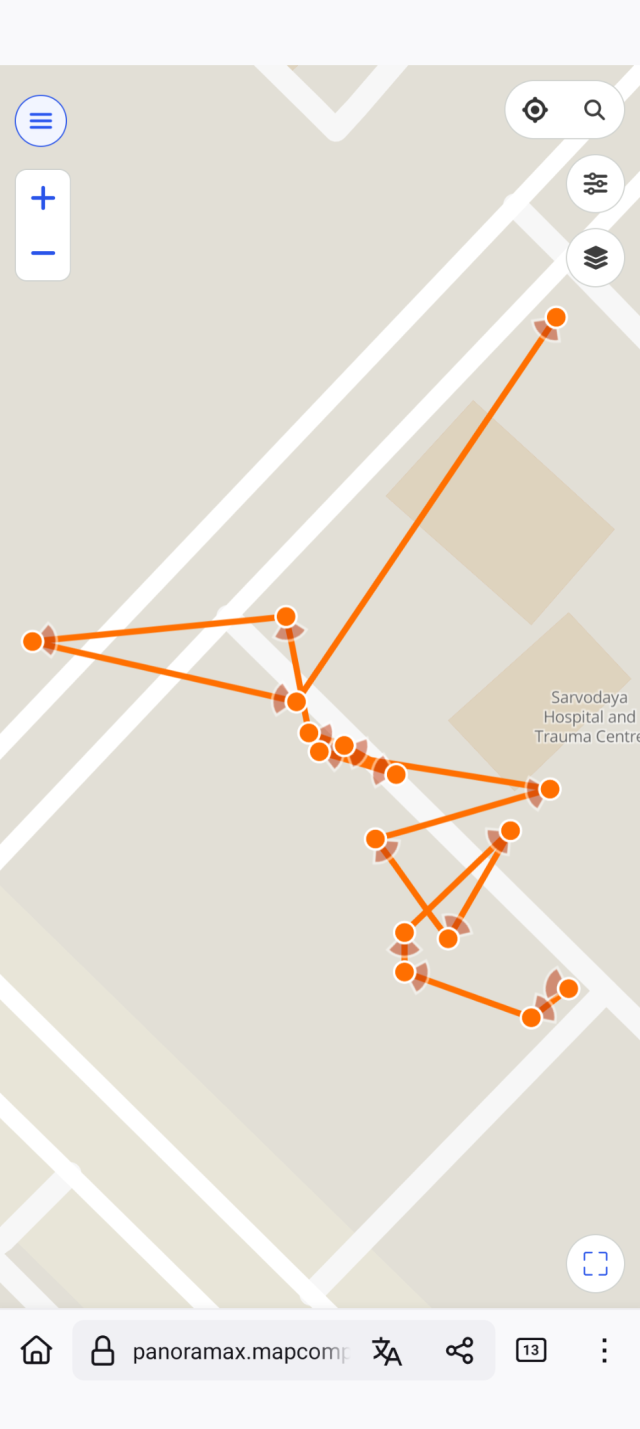
First of all, @panoramax is a very young project, so coverage is quite small. Only in #France - where the project started - there is significant coverage.
Because it is federated and self-hostable, it was a fitting solution to host the images that people take when contributing to #OpenStreetMap with #MapComplete
About the 'WebGL': MapLibre depends on it to render the maps. Some browsers do block #webGL to resist fingerprinting. You might be able to enable it per website.
@MapComplete Hey ! First time I'm coming on the website mapcomplete.org, and quickly trying the webinterface.
I've clicked on the "Sports" tab, and was sad to not see some "disc golf courses" on this menu.
wiki.openstreetmap.org/wiki/Ke…
May be useful for people ? 🥏 😉
Looking for vegan places and not a fan of proprietary datasets? #MapComplete has several themes to find (and edit) vegan places, based on #OpenStreetMap data!
The “restaurants and fast food” theme will show most places you might be interested in. If you love fries (like I do), “fries shops” will be helpful for you. And in the “gluten free” and “lactose free” themes, you can filter for vegan places too!
You can also easily edit these places with MapComplete, for example to add details or update incorrect or outdated information. Your changes will be uploaded to OpenStreetMap, which is freely reusable data!
MapComplete - editable, thematic maps with OpenStreetMap
MapComplete is a platform to visualize OpenStreetMap on a specific topic and to easily contribute data back to it.mapcomplete.org
We will disable the translations on hosted.weblate in a few weeks and remove the project there as well; once most activity has moved to our instance.
We'd like to thank @weblate for providing the software and for hosting us this long; and of course all the translators who helped to make #MapComplete available in their language! This would not have been possible without all your help.
You might have noticed already: since a few weeks, #MapComplete has a totally new search experience.
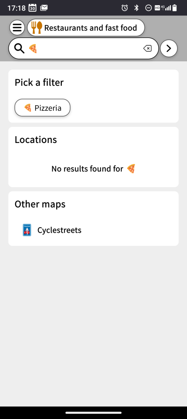
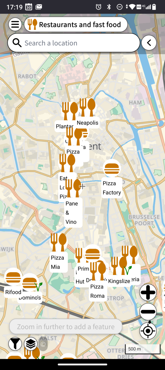
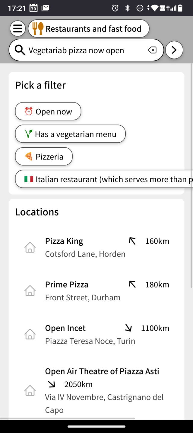
If you search something, the matching locations are shown on the map. If it matches the name of a layer or a filter, you can also opt to show only this layer or to enable this filter. For examplr, on mapcomplete.org/food, one could search for 'sushi' to only see sushi restaurants and then for 'open now'. Or search with an emoji, such as 🍕🍟🥙 or 🍙
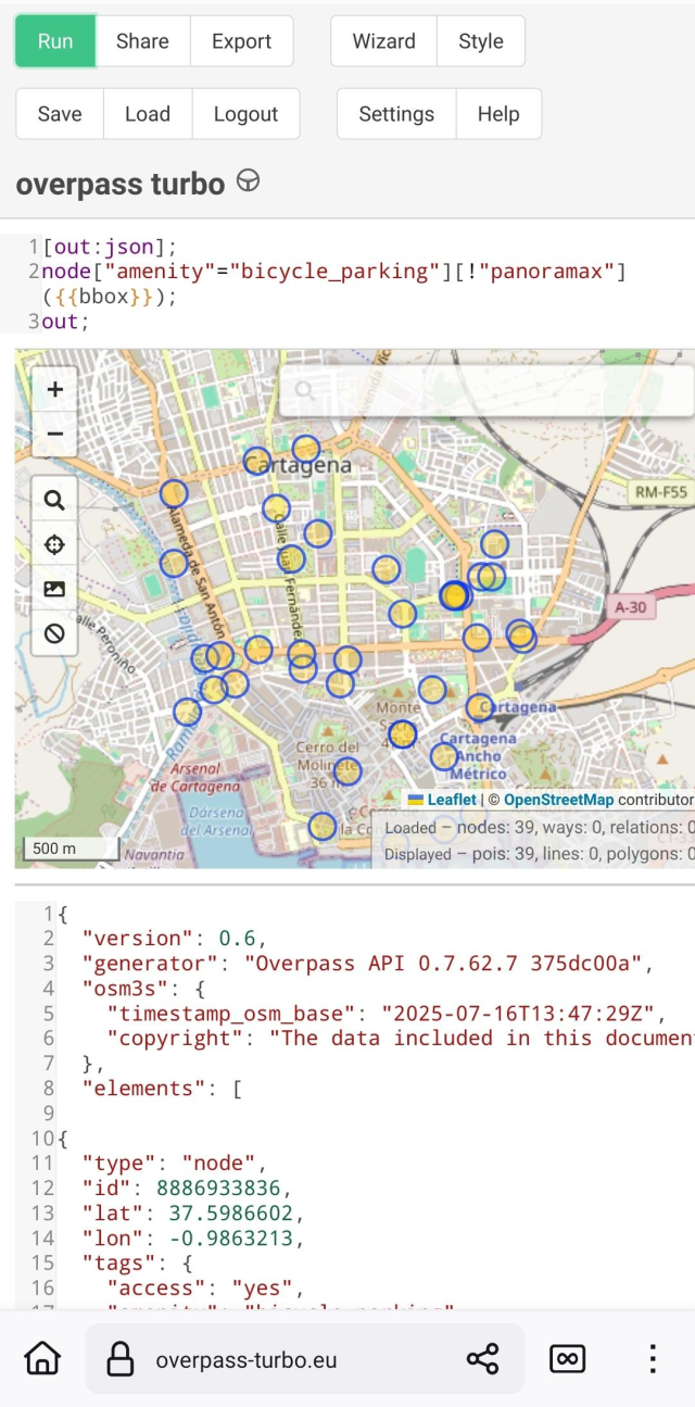
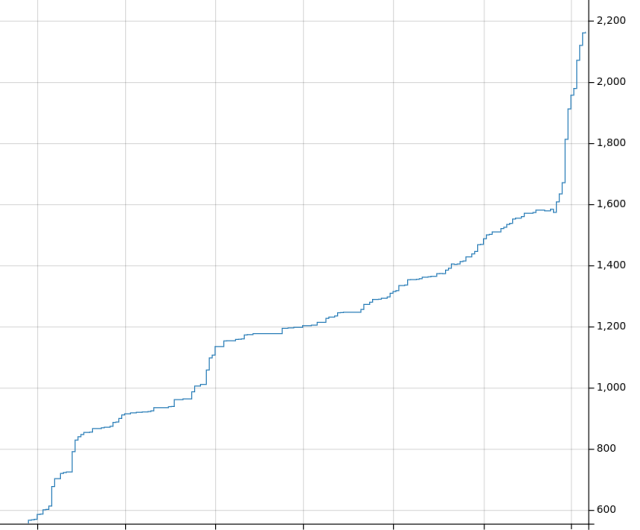
Guess when #MapComplete started uploading pictures to our @panoramax -instance and started introducing `panoramax`-tags to the #OpenStreetMap-database...
There are 614 pictures in our instance for now.
If you want to see the graph for yourself, it is here: taghistory.raifer.tech/?#***/p…
I sometimes get the question why I'm not allowing anonymous contributions to #OpenStreetMap via #MapComplete .
I've gotten the question again today, so I decided to write down why I'm not adding nor planning
this: github.com/pietervdvn/MapCompl…
Voor de duidelijkheid: #MapComplete werkt op/met dezelfde database waar heel veel apps op werken: #openstreetmap.org (de Wikipedia van kaarten). Wat je toevoegt komt dus uiteindelijk bij iedereen terecht. Doen dus!
Wat ik jammer - maar oplosbaar! - vind is dat er geen #kaart bestaat waarop je zelf met #fiets of #lopend een #route kan uitstippelen die je langs een aantal van deze #kunstwerken brengt.
Het dichtst wat daar bij komt is een kaart van #MapComplete.org waarop kunstwerken staan vermeld maar nu nog erg leeg is. Deze huisjes staan er bijvoorbeeld niet op. Het oplosbare bestaat eruit dat mensen ze wel zelf kunnen toevoegen. 😉 #DenHaag
I just tried out the new panoramax integration and it works great! 🎉
Hopefully @everydoor and @streetcomplete consider integrating Panoramax in the future too. (:
#backtoschool Did you know #MapComplete has a map about education?
You can mark schools, universities and colleges on there, together with a lot of attributes, such as the capacity of the school, gender segregation or applied pedagogy
Try it on mapcomplete.org/education
Et je découvre ainsi, grâce à un commentaire d'un utilisateur #OSM que:
"Since you’ve added images and their link, the artworks now show up nicely on dedicated web maps, for example @MapComplete /artworks":
mapcomplete.org/artwork?z=18.4…
C'est bô, cela, non? J'ai ainsi l'impression d'avoir vraiment fait une belle contribution
#OpenStreetMap #MapComplete
Přispívání do OpenStreetMap: chytání „pokémonů“ se StreetComplete
V dalším díle seriálu o přispívání do OpenStreetMap se věnuji tomu nejméně náročnému způsobu – doplňování informací k již existujícím objektům. Dozvíte se, jak na to ve skvělé aplikaci StreetComplete.
Hola a la comunidad #Celiaca y #SinGluten el grandioso @pietervdvn ha creado en #MapComplete un tema (mapa) específicamente para vosotros, esto es muy importante ya que este mapa es GRATUITO, LIBRE y editable por cualquier persona, haciéndolo una fuente de conocimiento de TODOS y para todos.
Se acabaron los mapas de google maps que solo conocen los dueños y a quienes se lo comparten.
Si tienes una lista o mapa de tus sitios favoritos añadelos!
Puedes visitarlo aqui:
mapcomplete.org/glutenfree
Precisely four years ago, the first ever changeset with #MapComplete was made. Granted, it was a testing point - but it marked the birth of MapComplete:
openstreetmap.org/changeset/85…
Tomorrow, there is an OSM-meetup/birthday party for it: osmcal.org/event/2867/
OpenStreetMap-meetup + MapComplete birthday party
(English below) Een gezellig samenkomen voor iedereen die interesse heeft in OpenStreetMap - van totale beginner tot expert.OpenStreetMap Calendar
Ooh, nice! You can get some inspiration from my (@pietervdvn) introductory talk at State of the map, a few years ago: pietervdvn.duckdns.org/sharing…
One of the most important slides IMHO is the 'Pareto frontier' which graphs 'easy of use' vs 'number of features'.
Another important thing is the difference between @MapComplete and @streetcomplete : the latter is meant only for adding data, whereas #MapComplete is meant for both consuming and contributing data.
New in #MapComplete :
- @protomaps are now available as background layer
- All other #vector background layers were apparently broken as well. Not anymore! Carto, Alidade, MapTiler carto, Americana, ... all work again
- A new #map about memorials is now available: mapcomplete.org/memorials.html
(To change the background layer, press the 'layers' icon on the bottom left)
Memorials
Memorials are physical objects permantently placed in the public space to remember a person or eventmapcomplete.org
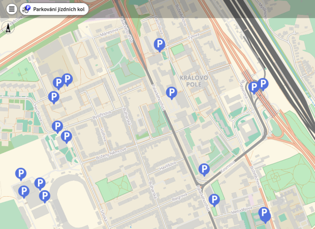
And #MapComplete has something similar with mapcomplete.org/cyclofix
And we have plenty of other thematic maps
Cyclofix - a map for cyclists
The goal of this map is to present cyclists with an easy-to-use solution to find the appropriate infrastructure for their needsmapcomplete.org
The next MapComplete community call is scheduled for friday the 29th of March, at 14:00 Brussels time.
This is a good moment to pass by, ask questions or get in touch about the last developments about #MapComplete
This happens in our #Matrix chatroom at app.element.io/#/room/#MapComp… ; more information here osmcal.org/event/2711/
MapComplete Community Call
MapComplete Community Call, 29th March 14:00 (Europe/Brussels) . The monthly MapComplete community calls are a chance for everyone involved with MapComplete to come…OpenStreetMap Calendar
I'm happy to say that 311 reviews have been made up till now! This is nearly one third of all reviews on @mangroveReviews
Pieter Vander Vennet's Diary | An overview of reviews made with MapComplete | OpenStreetMap
OpenStreetMap is a map of the world, created by people like you and free to use under an open license.OpenStreetMap
Hey devs around here: how do you test accessibility?
I've been testing #mapcomplete with the #Orca #screenreader today, and fixing some issues but I feel quite unsure about it, so I'p interested in your approaches.
Or if someone who's using a screenreader could help me test (in #ghent or at #CCC), that would be appreciated
RT @mapbeks@twitter.com
We have globally launched the RAINBOW MAP by MapBeks through #MapComplete today!
Visit mapbeks.org/therainbowmap
In this map, you can edit, add , update, delete information of known LGBT friendly and primary spaces directly to @OpenStreetMap@twitter.com