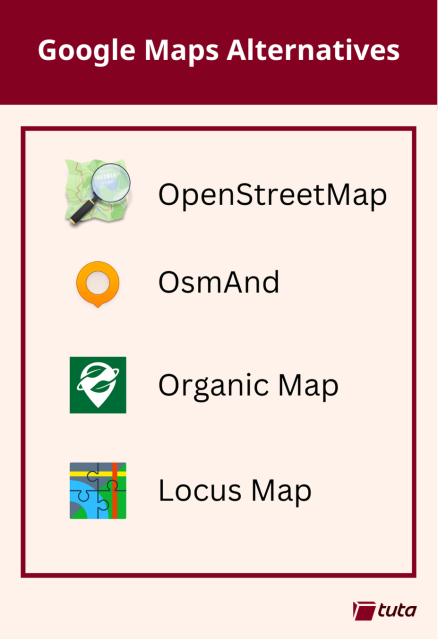
Are you sick of Google Maps, but are still worried about getting from A to B? 🏃 🚲 🚗
Checkout these great open source alternatives!
👉 tuta.com/blog/google-maps-alte…
#degoogle #maps #opensource #foss #privacy
Looking to drop Google? Here are the best Google Maps alternatives for finding your way.
With a number of community driven, open source mapping projects picking a navigation app without ads or tracking has never been easier.Tuta

Artur Neumann
in reply to Tuta • • •the map is open-source, but be aware that #Locus as app is not.
IMO this is not necessarily a bad thing, software developers have to earn money.
Another great (not #FOSS) app for navigation during sport activities (#running, #cycling, #trekking, etc.) is IMO #komoot : komoot.com
It also uses #openstreetmap data
Edit: OsmAnd is opensource, thx for telling me
Frieder Schrempf
in reply to Tuta • • •Ertain
in reply to Tuta • • •Ball Shaped Man
in reply to Tuta • • •Zaphod42
in reply to Tuta • • •I am using Organic Map, before that OsmAnd (Organic Map needs fewer ressources on my old device).
Google Maps wants me to do things, to consume. I want to get where I want and get things done. Thanks, I am grown up, no neede for a nanny ..
nictakiego
in reply to Tuta • • •samsoul75
in reply to Tuta • • •Andrew
in reply to Tuta • • •I wish there was a decent Google maps replacement. Not just for navigation--that's fairly simple--but rather for local SEARCH. How else are you supposed to search for stuff nearby? Yelp is the only alternative I even know of and it's terrible. Nextdoor is arguably a contender but it's even worse. Nothing community driven whatsoever that I'm aware of...
#Google #degoogle #maps
John Q
in reply to Tuta • • •Do any of the open options dabble in this currently?
Jens Michael B.-Hansen
in reply to Tuta • • •Maël
in reply to Tuta • • •Hi ! For French people : cartes.app.
Full Web open source alternative. ~ half of France for transit cover. 90 % at the end of the year.
Cartes
cartes.appBoyd Stephen Smith Jr.
in reply to Tuta • • •Andy Wootton
in reply to Tuta • • •TRIPLE ///
in reply to Tuta • • •andr01d
in reply to Tuta • • •Tuta
in reply to andr01d • • •DrYak
in reply to Tuta • • •Mr. Teatime
in reply to Tuta • • •Not sure if it's entirely open Source, though. And I think it costs money if you get it via Google Play Store.