Search

Items tagged with: maps


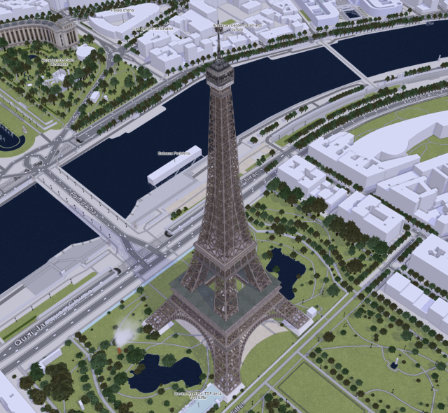
🗺️ 𝘖𝘱𝘦𝘯𝘚𝘵𝘳𝘦𝘦𝘵𝘔𝘢𝘱 3𝘋 🧊

https://demo.f4map.com

Zoom in to street level to see the 3D features.

#map #maps #OpenStreetMap #3D #topography #world #WorldMap #cities #landscape #environment #data #tools #OpenSource #FOSS


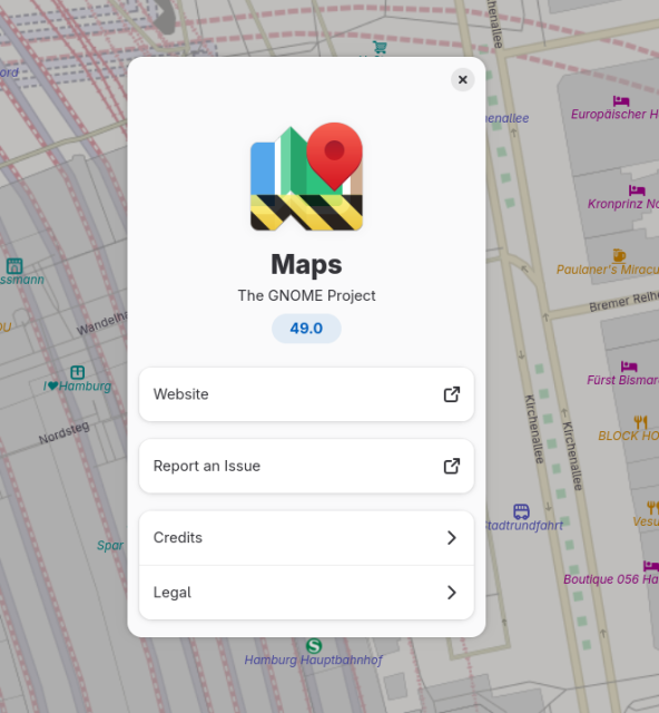
New blog post https://ml4711.blogspot.com/2024/03/maps-and-gnome-46.html

#mapstodon #gnome #transitous #maps #openstreetmap


With the news that Google is going to "supercharge" Maps with "AI" (and the poor results I've had with Apple Maps), I finally checked out OpenStreetMap: https://www.openstreetmap.org/

OMG THIS IS AMAZING. So much more useful detail! Incredible! Going to dig up an app for my phone and use this for a while to see how it compares to the ad- and AI-ridden nonsense.

#maps #openstreetmap


You can download the History of Cartography from the University of Chicago Press, vols. 1-4 and 6 (a total of 8 books).
The project is nearing completion after 40 years (volume 5 is still in preparation).
You do have to download the pdfs by chapter (about 200 total) but do you have anything better to do today?

#Maps #Cartography

https://press.uchicago.edu/books/HOC/index.html


I genuinely feel like #Protomaps is not nearly getting the attention it deserves

https://protomaps.com

We can drop a single file on a static host and get stylable vector maps? Magic ✨

In combination with Maplibre it's a game changer for 99% of web map use cases 👏

#OpenStreetMap #MapLibre #Maps #Mapstodon


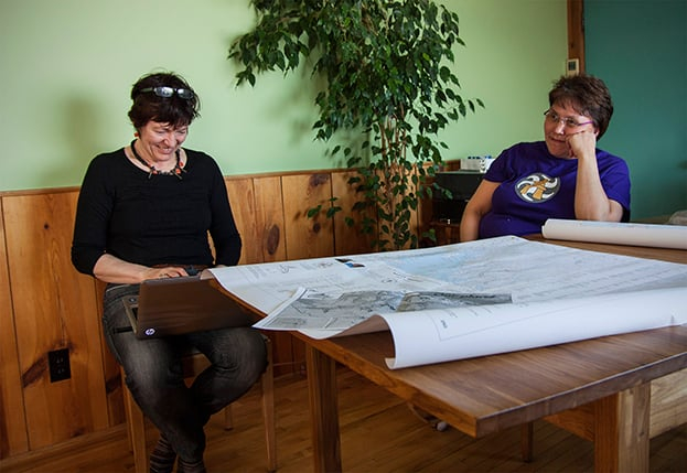
' Often, when we give a blank map of the surrounding areas to Inuit who are helping us [they] have no problem recognizing and identifying features on the map, going only from their recollections of the land and what their families have described to them in words or in songs — without otherwise having used maps. They’ll even correct you, explaining something like, “there should be a lake there, but it’s not on your map.” '

#PlaceNames #Indigenous #Nunavut #Canada #maps

https://canadiangeographic.ca/articles/mapping-traditional-place-names-in-canadas-north/


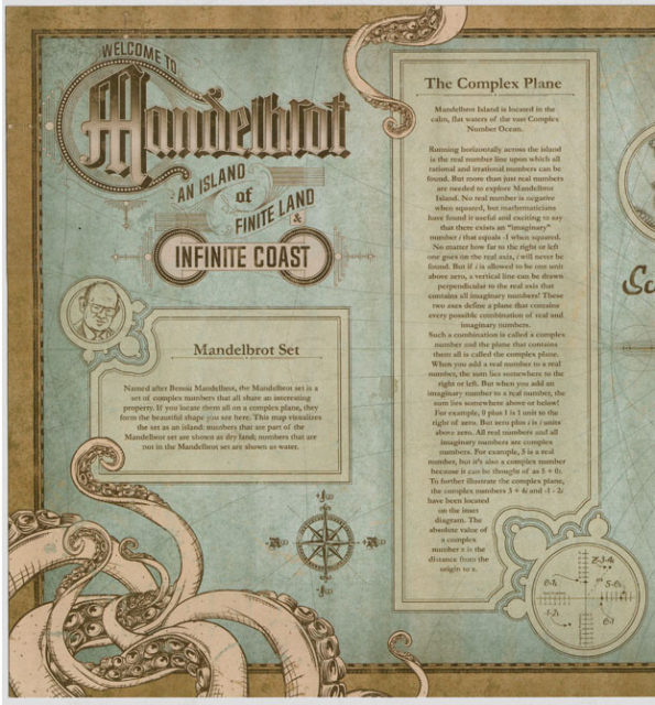
It's an intriguing and clear example of the intersection of truth and beauty in mathematics. A introductory map of the world of the Mandelbrot Set. #datavisualization #dataviz #maps #map #math #mathematics


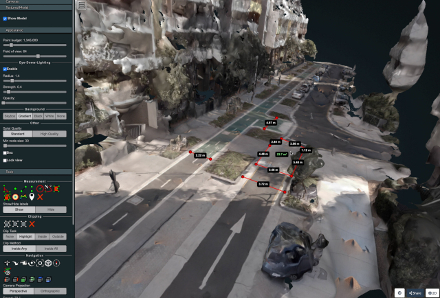
I wrote a technical guide showing how you can create your own orthorectified (aka satellite view/bird mode) imagery, point clouds and 3D models of streets with nothing but a 360 degree camera mounted on bicycle helmet, and the open source photogrammetry software OpenDroneMap.

Why might you want to do this? With your own up-to-date, highly detailed point clouds and imagery you could:
- quantify and communicate inefficient road space allocation
- record necessary infrastructure repairs
- take measurements such as lane and cycleway widths
- measure footpath obstructions in 3D and rate pedestrian amenity
- map kerb features on OpenStreetMap
- survey street parking using the new OSM spec: https://wiki.openstreetmap.org/wiki/Street_parking
- 3D print a model of your home street!

https://jakecoppinger.com/2022/12/creating-aerial-imagery-with-a-bike-helmet-camera-and-opendronemap/

#openstreetmap #opendronemap #maps #photogrammetry #curb #kerb #parking #cycling #urbanism #mapping


PeerMaps: Distributed, offline-friendly alternative to commercial map providers such as google maps. Instead of fetching data from a centralized tile service, your computer fetches map data from other peers across the network.

https://peermaps.org

HN: https://news.ycombinator.com/item?id=28499190

#p2p #osm #maps
#p2p #maps #OSM