Even on the night before the party, we were agonizing over the perpetual question - what editor to teach to newcomers?
And after the workshop and the latest mapping party, I think I have a new and improved idea.
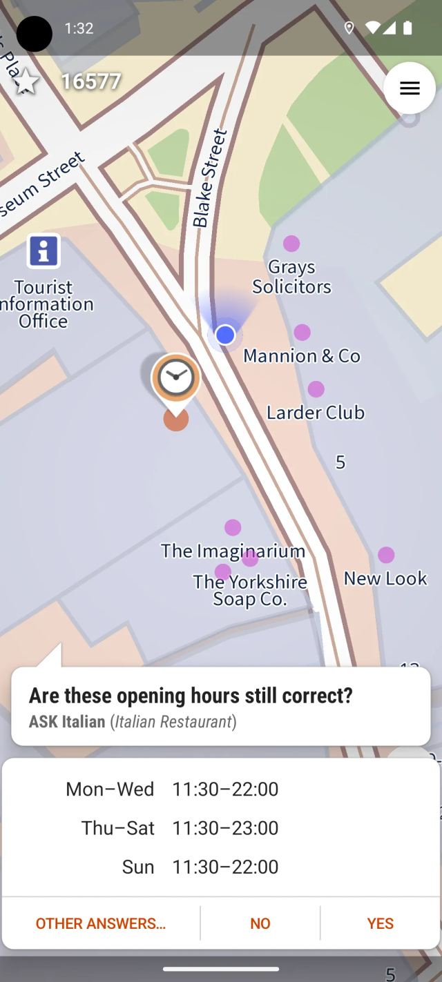
- We always introduce #CoMaps (and earlier Organic Maps) to newcomers, focusing on it as a means of using OSM. But we avoid using its editor - offline data can be confusing and (in the presence of concurrent editors) can more easily lead to duplication.
But if we want people to recommend CoMaps to other, less technical people…they may want the latter to be able to add places without installing another app.
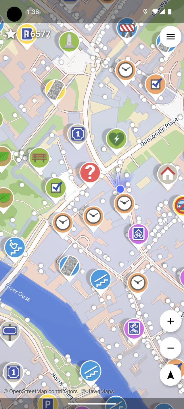
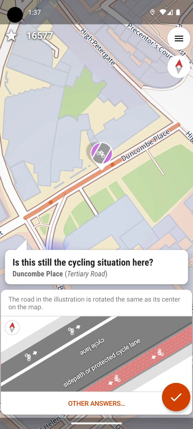
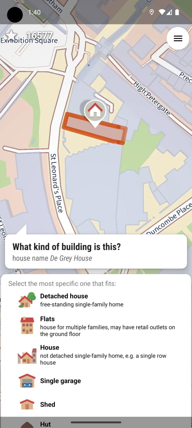
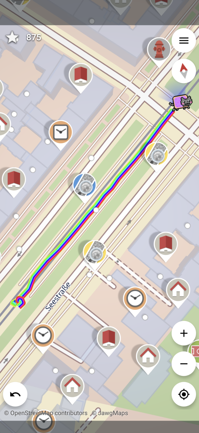
- I have long admired StreetComplete’s gamified interface, but always figured that it would cause issues in a mapping party.
But perhaps we can incorporate it after all? The people it is most likely to cause issues for are the #Vespucci users, and they are experienced enough (and Vespucci’s tooling is good enough) to handle upload conflicts.
Another issue is that if a user adds some data using a #StreetComplete layer, it takes time for quests to appear for it.
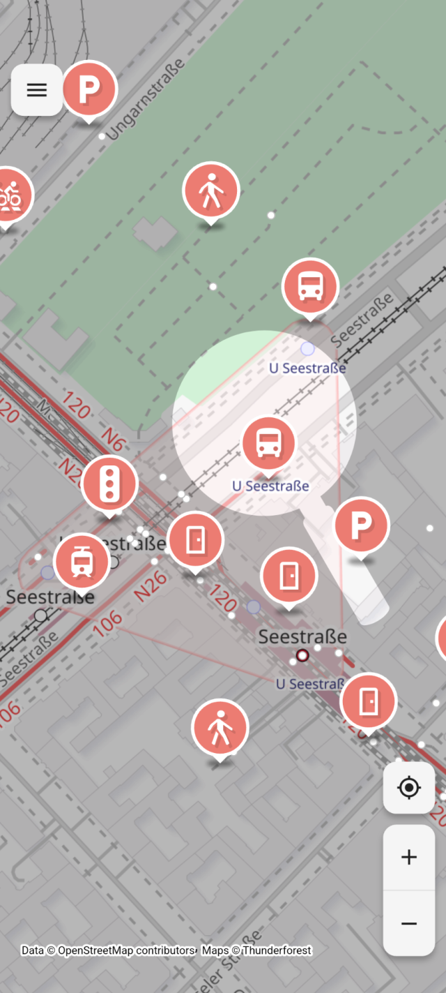
- #MapComplete is good because it puts together the things people coming from Google Maps often expect from OSM - map data, photos, and ratings+reviews. The questions and the photo-taking may also add some variety and fun, and the photos also help other mappers verify the data and add details.
So here’s the new idea -
- We practice adding 1-3 POIs with CoMaps. There may be duplication, but that’s okay, we (the organizers) will clean it up later as we usually do.
- Then, we add 5-10 POIs with MapComplete.
- Finally, we try out StreetComplete to add more details to the streets and POIs. We will use SC’s team mode to divide quests between people on the same team.
I’ll test the viability of this process soon.
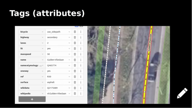
(Vespucci will go back to being an editor for regular participants.)
#OpenStreetMap #OSM #contraMaps
