Items tagged with: mapping

Search

Items tagged with: mapping


Today I've officially become a member of @osmcz (OpenStreetMap Czech Republic, registered association). After almost a year of frequent contributions to #OpenStreetMap, I thought it was time to take the step.

#osm #mapping


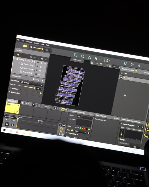
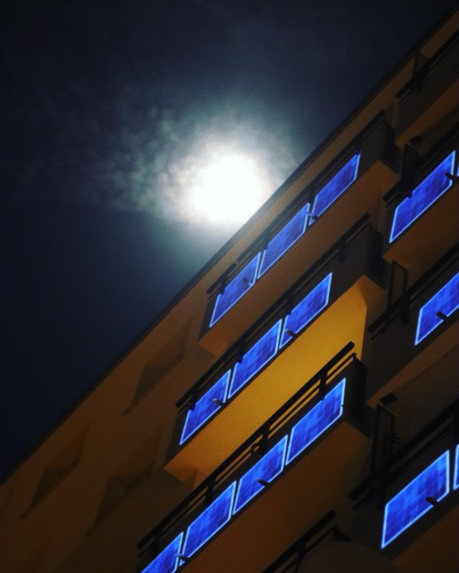
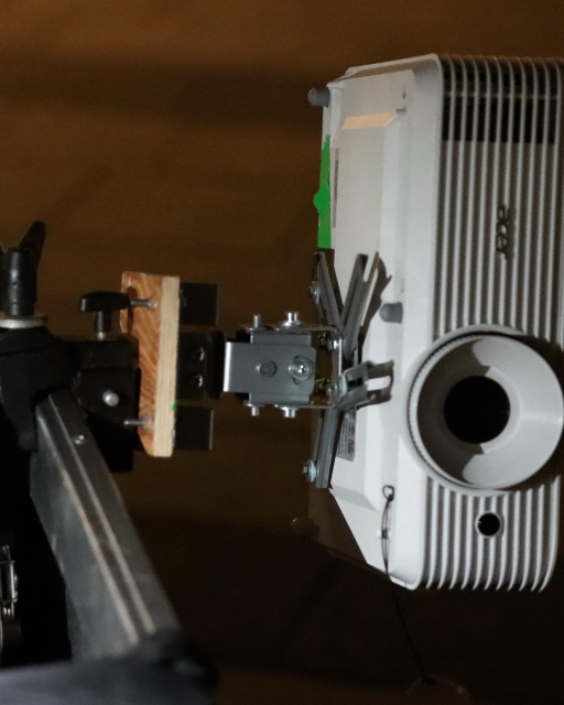
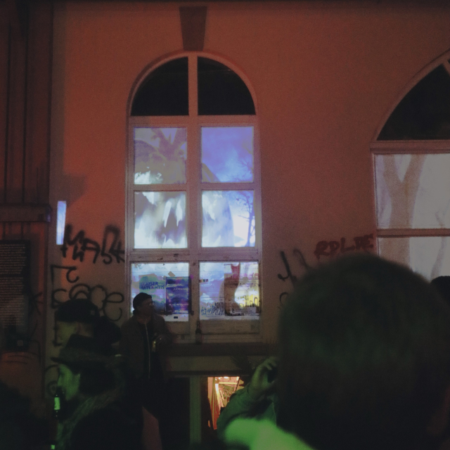
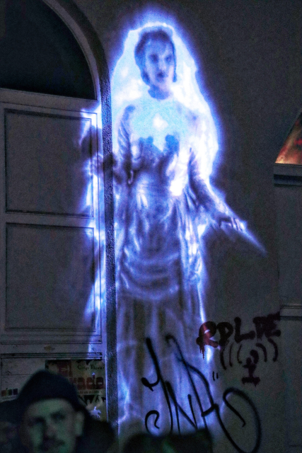
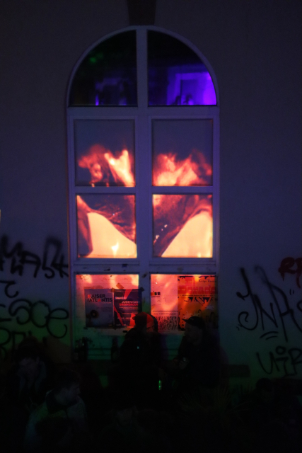
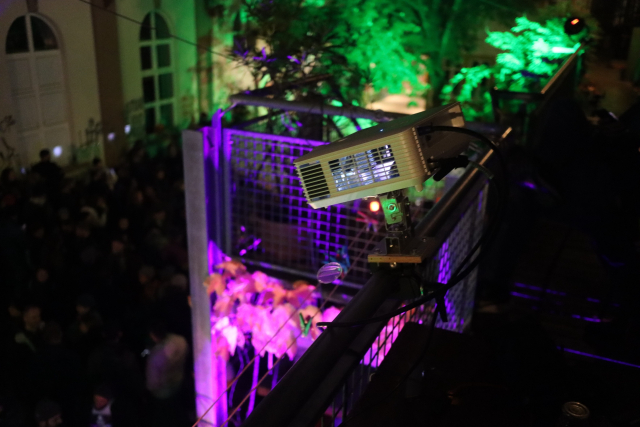
Das #Photonenkollektiv hat im Grether Gelände mit drei Beamern ein #Mapping durchgeführt.

Geniale Effekte und Videos die projeziert wurden, passend zur #halloween Party.

Verblüffend was man mit einem Laptop und drei handelsüblichen Beamern so machen kann. Und macht auch Lust auf mehr.


OpenStreetMap Bengaluru has a mapping party happening next Saturday!

Indiranagar Mapping Party (with Surveillance In Bengaluru and SafeYelli)

Date: 7th October 2023
Time: 8:30AM - 11:30AM
Meeting Point: Indiranagar Basketball Club Grounds
Theme: Mapping CCTVs and Street Lights

RSVP on the OSM Calendar: osmcal.org/event/2357/

For those new to OSM, no prior mapping or OSM experience is needed to participate, so all are welcome to join!

#osm #osmindia #mapping #india


If you're using OSM, either as a blind individual profiting from the available mapping data with one of the navigation apps or as a an OSM contributor, this OSM wiki article could be interesting as it explains how to map the world with blind users in mind. It explains specialty tags, some of which I had no idea existed, suggests tools for data entry and introduces the Blind OSM project. #OSM #GPS #Navigation #Mapping #Accessibility #Blind OSM for the blind – OpenStreetMap Wiki wiki.openstreetmap.org/wiki/OS…


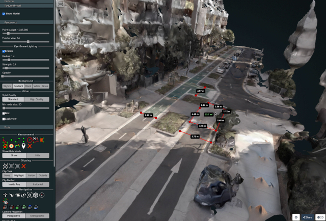
I wrote a technical guide showing how you can create your own orthorectified (aka satellite view/bird mode) imagery, point clouds and 3D models of streets with nothing but a 360 degree camera mounted on bicycle helmet, and the open source photogrammetry software OpenDroneMap.

Why might you want to do this? With your own up-to-date, highly detailed point clouds and imagery you could:
- quantify and communicate inefficient road space allocation
- record necessary infrastructure repairs
- take measurements such as lane and cycleway widths
- measure footpath obstructions in 3D and rate pedestrian amenity
- map kerb features on OpenStreetMap
- survey street parking using the new OSM spec: wiki.openstreetmap.org/wiki/St…
- 3D print a model of your home street!

jakecoppinger.com/2022/12/crea…

#openstreetmap #opendronemap #maps #photogrammetry #curb #kerb #parking #cycling #urbanism #mapping


📣 Awesome #Job Alert!!! 📣 (boosts appreciated)

We're hiring.

We're looking for a Senior Software Engineer for #Terraso. Full remote work on an #opensource project with a mission to help landscape communities organize for the #environment and #SustainableDevelopment.

In the coming months we're building #mapping, #DataCollection and learning tools.

Honestly its such a cool project. Every day I go to work with wonderful people and try to save the world. Come work with me.

Check it out! jobs.lever.co/TechMatters/cea5…

Also learn more:
- terraso.org
- landscapes.global