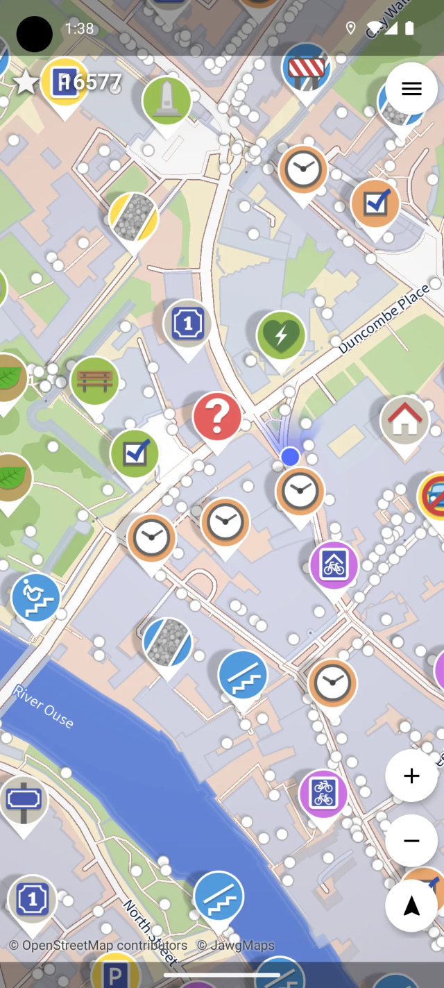
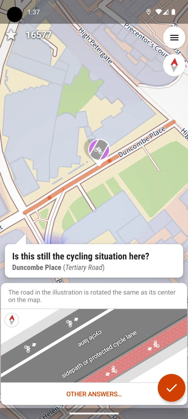
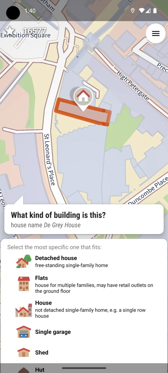
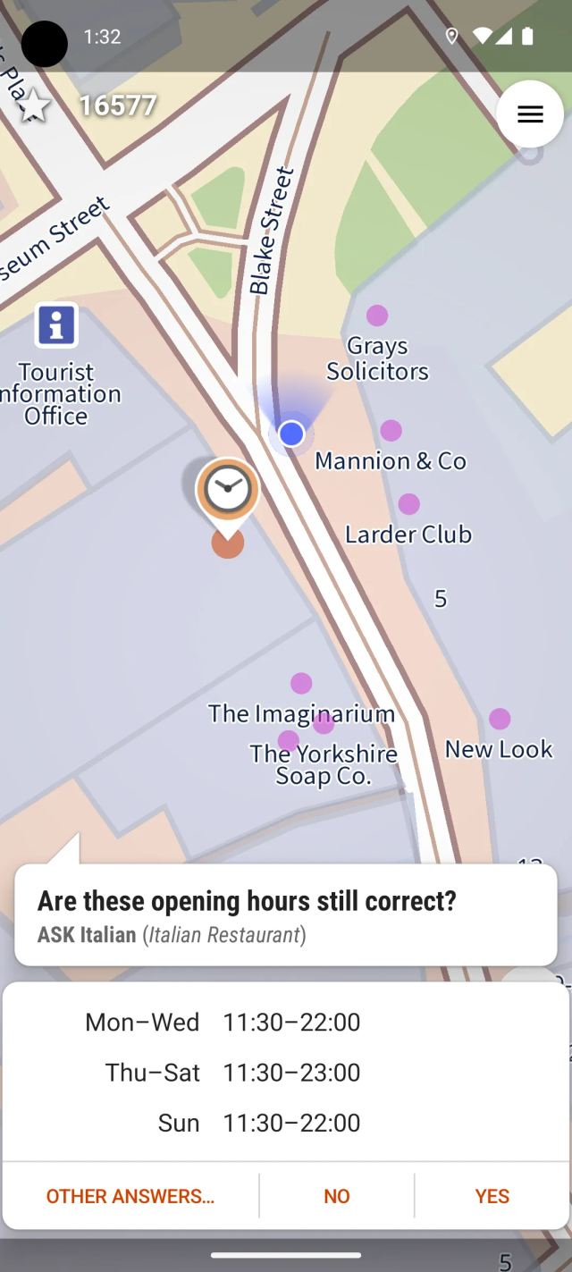
Hab es dann als Kommentar in #StreetComplete hinterlassen.
Search
Items tagged with: streetcomplete
Hab es dann als Kommentar in #StreetComplete hinterlassen.
This is a nice talk that was given last week at #WHY2025 : ) About MapComplete: at 05:29; #streetcomplete at 06:16. ---> youtube.com/watch?v=YsgOc49PYR…
WHY 2025 - OpenStreetMap for beginners
https://media.ccc.de/v/why2025-198-openstreetmap-for-beginnersAre you interested in maps? Are you searching for a FLOSS mapping navigation? Do you need geoda...YouTube
Even on the night before the party, we were agonizing over the perpetual question - what editor to teach to newcomers?
And after the workshop and the latest mapping party, I think I have a new and improved idea.
- We always introduce #CoMaps (and earlier Organic Maps) to newcomers, focusing on it as a means of using OSM. But we avoid using its editor - offline data can be confusing and (in the presence of concurrent editors) can more easily lead to duplication.
But if we want people to recommend CoMaps to other, less technical people…they may want the latter to be able to add places without installing another app.
- I have long admired StreetComplete’s gamified interface, but always figured that it would cause issues in a mapping party.
But perhaps we can incorporate it after all? The people it is most likely to cause issues for are the #Vespucci users, and they are experienced enough (and Vespucci’s tooling is good enough) to handle upload conflicts.
Another issue is that if a user adds some data using a #StreetComplete layer, it takes time for quests to appear for it.
- #MapComplete is good because it puts together the things people coming from Google Maps often expect from OSM - map data, photos, and ratings+reviews. The questions and the photo-taking may also add some variety and fun, and the photos also help other mappers verify the data and add details.
So here’s the new idea -
- We practice adding 1-3 POIs with CoMaps. There may be duplication, but that’s okay, we (the organizers) will clean it up later as we usually do.
- Then, we add 5-10 POIs with MapComplete.
- Finally, we try out StreetComplete to add more details to the streets and POIs. We will use SC’s team mode to divide quests between people on the same team.
I’ll test the viability of this process soon.
(Vespucci will go back to being an editor for regular participants.)
#streetcomplete #MapComplete #osm #openstreetmap
- streetcomplete (70%, 21 votes)
- mapcomplete (3%, 1 vote)
- situationsbedingt (6%, 2 votes)
- hä?!? (20%, 6 votes)
Auf dem Weg zur re:publica?
Gerne dran denken, die #OpenStop #App bereit zu halten, wenn man am Bahnsteig oder der Bushaltestelle, warten muss:
kom-in.de/170/openstop-haltest…
Mit der App #StreetComplete geht das auch sehr gut...
Damit können #Barrieren oder Barrierefreiheitsdaten eingetragen werden.
Menschen mit #Behinderung hilft dies beim Planen von Reisen und Wegen.
Sind diese Daten für einen selbst nicht relevant, hilft es vielleicht, auch selbst sensibler zu werden für unsere Mitmenschen.
#Achtsamkeit #Solidarität #a11y #Inklusion #ÖPNV #re25 #republica #digitaleTeilhabe
OpenStop - Haltestelle an der Datenautobahn?
Die Erfassung von Daten zur Barrierefreiheit von Haltestellen des öffentlichen Verkehrs ist notwendig.www.kom-in.de
It took almost 9.5 years to make 20,000 edits with OsmAnd for OpenStreetMap. Thanks to Quick Action it has recently become easier and faster. But since the introduction of Streetcomplete and especially Mapcomplete, I've been mapping a little less with OsmAnd lately. Let's see how long I need for the next 10,000.
#OSM #OpenStreetMap #Osmand #MapComplete #streetcomplete #mapping #maps
This is a nice point of view! ✌️
#streetcomplete is indeed a great way. // @streetcomplete
#MapComplete has no app but it also runs like a charm if you make a starter with your browser app // @MapComplete
Both have different approaches and are very active developed. So, start mapping for #osm 🙂
Tag 22 im Fediverse - Schau was flattert da in mein E-Mail-Postfach.
Ich oute mich jetzt hier: Ich habe bislang ziemlich viel zu Google Maps beigetragen, weil ich ein großer Fan davon bin, meine Erkenntnisse, Fotos und Informationen mit anderen zu teilen. 🙈
Künftig möchte ich auch hier etwas neues ausprobieren. Gerade habe ich die App "StreetComplete" entdeckt, mit der ich wohl ziemlich einfach zu OpenStreetmap beitragen kann. Gibts im Playstore und auch bei F-Droid.
Ich schaue mal noch, wo ich Renzensionen, Fotos etc. jetzt hinpacke, bin noch am Einarbeiten in OpenStreetmap und freue mich auch auf vielleicht ganz andere Dienste, die da noch auf Ihre Entdeckung warten.
Habt Ihr spannende Tipps, wo ihr etwas beitragt?
nicht mehr ganz so #neuhier
#OpenStreetmap
#StreetComplete
#UnplugTrump
Summer 24 somewhere in Sweden.
After a delicious dinner, we went for a digestive walk with the midnightsun and making some survey. Of course I used the Osmand app with Quick Action function, Streetcomplete and took pictures with Mapcomplete.
#mapping #sweden #osm #OpenStreetMap #osmandapp #streetcomplete #MapComplete
When I started mapping the first additions in the OsmaAnd app for Openstreetmap at the end of 2015, I never thought I would make 1 million changes. Entered in OsmAnd and then in Potlach2 (because it was beginner-friendly). Then later iD and other apps. Like Mapcomplete, Streetcomplete or Everydoor. 1
I can only recommend just getting started.
#osm #OpenStreetMap #osmand #MapComplete #streetcomplete #EveryDoor #Karten #Landkarte #map #opensource
Chcete si na mapě zobrazit všechny výskyty nějakého objektu (knihobudky, bankomaty, pítka, veřejná ohniště...)? Snadno to jde například s @MapComplete (mapcomplete.org/). Chybějící objekty můžete i doplňovat, podobně jako přes @streetcomplete.
#mapa #OSM #MapComplete #StreetComplete
MapComplete - editable, thematic maps with OpenStreetMap
MapComplete is a platform to visualize OpenStreetMap on a specific topic and to easily contribute data back to it.mapcomplete.org
Další možností, jak přispívat, je používat aplikaci #StreetComplete: streetcomplete.app/ Je to velmi jednoduché a lze k tomu využít třeba těch pár minut, co čekáte na autobus.
At first I just looked at how several features are already tagged, then slowly started to correct wrong data and then add missing details.
I use #StreetComplete app to add details on walk travels,
#OsmAnd app to add POIs and of course the iD web editor for larger edits.
I am especially impressed by the iD editor. It's so helpfull with clever use of autocomplete and linking to #OSM wiki...
The best reward is 3D view becoming more realistic...
Přispívání do OpenStreetMap: chytání „pokémonů“ se StreetComplete
V dalším díle seriálu o přispívání do OpenStreetMap se věnuji tomu nejméně náročnému způsobu – doplňování informací k již existujícím objektům. Dozvíte se, jak na to ve skvělé aplikaci StreetComplete.
Dass sind mir die liebsten Meilensteine bei #streetcomplete
Jede Information macht die #openstreetmap Karte besser, aber Informationen zur Barrierefreiheit sind sehr nützlich.
Vielleicht sind bald Routings für Blinde und Rollifahrer möglich.
Wobei niemand vergessen sollte:
Wenn du lange lebst dann wirst du Behinderungen durch Alter oder Krankheit bekommen und auf Barrierefreiheit angewiesen sein.
#scee
I‘ve recently switched to #iOS and was sad that I couldn‘t use #streetcomplete for #osm anymore. But they‘ll soon release an iOS version as well 💕
prototypefund.de/project/stree…
StreetComplete für iOS - Prototype Fund
Die OpenStreetMap ist eine freie und offene Sammlung von Geodaten: Straßen und Wege, Landschaften, Gebäude, Sehenswürdigkeiten. Diese Daten helfen nicht nurPrototype Fund
Menstrual products can now be tagged in #OpenStreetMap 🎉
The vote went through and the proposal was accepted! If you encounter a toilet that has menstrual products available (or if you want to document the lack thereof) you can now use
toilets:menstrual_products=yes/now/limited
For more information see wiki.openstreetmap.org/wiki/Ke…
PS: In theory this was possible before but the approved proposal is a way of the community to find a consensus on how to tag. The new tag is now documented and can be included in survey tools like #StreetComplete
If you want to participate in #OpenStreetMap in a simple way, I recommend taking a look at #StreetComplete
#StreetComplete's AR measuring functionality is, for licensing reasons, now a separate app (github.com/streetcomplete/Stre…).
This means though that this functionality is now available with Streetcomplete installed from F-Droid, if you also install the #StreetMeasure app (FOSS, except it needs to include google's proprietary AR bindings lib) as well as the "Google Play Services for AR" app (proprietary but surprisingly not dependent on actual play services being available on the device).
1/
GitHub - streetcomplete/StreetMeasure: Measure distances with AR
Measure distances with AR. Contribute to streetcomplete/StreetMeasure development by creating an account on GitHub.GitHub