Search
Items tagged with: PanoramaX


Ready to "Panoramax" during Heritage Days?
Yes, Panoramax isn't just for street photos, it's also ideal for sharing photos of monuments, heritage sites, landscapes, and more.
A list of examples can be found at forum.geocommuns.fr/t/selectio….
You can take photos with your smartphone and upload them later. Just remember to check that geolocation is enabled and saved in the photos.
#heritagedays #heritagedays2025 #panoramax

Sélection de photos de haute qualité
Voici une liste d’exemple de photos de haute qualité, que l’on pourra compléter (sujet mis en mode wiki) qui mettent en valeur le patrimoine, les paysages.Forum GéoCommuns
Had a blast at our little #OpenStreetMap birthday celebration. 🍰 🧉
It ended up being too windy to fly drones for long. Instead we recorded street-level images for #panoramax and GPS tracks, in addition to doing a lot of live surveying – using a huge range of tools that allow contributing to OSM!
In no particular order we at least used: @everydoor, @streetcomplete, @MapComplete, @CoMaps, HOTOSM's ChatMap, iD and JOSM.
Having so many different ways of making contributions is a real feature.


Happy 21st Birthday @openstreetmap! 🍰 🥳 🎈
Gonna meet up with friends to celebrate, do some on-the-ground surveying, probably also walk around with a 360° cam to get imagery for @panoramax. And fly a drone, to get some nice aerial imagery while we're at it! 🗺️ 📷
And of course have some cake too 😂
Le site openstreetmap.org a rendu cliquables un certain nombre de tags, dont celui pour #panoramax.
Cela permet d'accéder directement à la photo associée à un objet dans OpenStreetMap.
Exemple avec le CNIT: openstreetmap.org/relation/307…


Relation: CNIT (3071527)
OpenStreetMap is a map of the world, created by people like you and free to use under an open license.OpenStreetMap
better-osm-org userscript shows #panoramax pictures inline when viewing #osm elements. github.com/deevroman/better-os…
@Limaginaire @CoMaps @MapComplete

GitHub - deevroman/better-osm-org: A userscript that adds several useful features to osm.org β
A userscript that adds several useful features to osm.org β - deevroman/better-osm-orgGitHub
Oh... A #panoramax-integration!
Does that mean that items which have a `panoramax`-tag will show the corresponding images? I.e. all images snapped with @MapComplete ?
using the #Panoramax platform.

I am uploading pictures (#PanoramaX), as well of other details, in the bicycle parking theme of #MapComplete. I like to take the pictures and upload several afterwards.As sometimes I didn't remember whether a bicycle parking has already pictures or not I find useful this simple overpass(overpass-turbo.eu/)that shows you which ones in an area lack them.
I share it JIC anybody find it useful:
[out:json];
node["amenity"="bicycle_parking"][!"panoramax"]({{bbox}});
out;
#OpenStreetMap

overpass turbo
A web based data mining tool for OpenStreetMap which runs any kind of Overpass API query and shows the results on an interactive map.overpass-turbo.eu
For sake of trying something new, we introduced #MapComplete ( @MapComplete ) as the first editor for our 6 new mappers. While there were some rough edges, it enabled them to contribute photos to #Panoramax.
panoramax.mapcomplete.org/?foc…
#OpenStreetMap #OSM #Delhi #India #OSMNCR
, each with a direction indicator.")
, each with a direction indicator.")
#Panoramax cas d'usage N° 15429
Nous avions développé Panolinker comme PoC durant le hackathon de la fabrique des géocommuns de @ignfrance il y a quelques semaines.
Le principe a été repris par la startup d'État "AccèsLibre" qui répertorie l'accessibilité des Etablissements Recevant du Public (ERP) qui a ouvert un challenge sur son site:
acceslibre.beta.gouv.fr/panora…

Connexion
Inventaire de l'accessibilité des Établissements Recevant du Public (ERP) en Franceacceslibre.beta.gouv.fr
Vive les écosystèmes libres et ouverts !
@MapComplete permet de relier @osm_fr et @panoramax très facilement.
On sélectionne un objet présent dans #OpenStreetMap qu'on peut compléter entre autre en lui ajoutant une photo.
Cette photo est partagée directement sur #Panoramax et un tag panoramax=* est ajouté sur l'objet OSM pour faire le lien.
La carte ci-dessous est faite sur @umap et utilise #Overpass pour afficher les objets OSM avec leur photo associée. #NoCode
umap.openstreetmap.fr/fr/map/p…

PoC intégration OSM / Panoramax
This is a proof of concept of integration between OpenStreetMap and Panoramax. panoramax tag is used to get the corresponding picture on OSM-FR server.uMap

#Panoramax - das neue #StreetView!
Vor einigen Jahren wurde #Mapillary an #Meta verkauft. Und auch #Google StreetView möchte vielleicht nicht jeder nutzen.
Mit Panoramax gibt es nun eine #FOSS Alternative. Sie soll dezentral organisiert werden. Dies ist meines Wissens die erste Instanz:
panoramax.openstreetmap.fr
Kleiner Tipp:
Falls man das AdOn #ClearURLs verwendet, kommt man eventuell über die Animation wegen Blockierung von ETags nicht hinaus. Deshalb nutze ich Panoramax als #Firefox-PWA am Desktop.
Panoramax OSM-FR - photo-cartographier les territoires
L'instance Panoramax d'OpenStreetMap France, permet la publication de photos de terrain pour cartographie les territoires.panoramax.openstreetmap.fr


Also as part of mapping these recent hikes, I've been trying out uploading some of my survey photos to #Panoramax via @MapComplete - mainly of guideposts and information boards/maps. Previously I only used this kind of photo to inform my mapping, without sharing them. But it seems kind of a waste to leave them sitting on my hard drive.
Of course the danger is that I'll now start worrying about the lighting and composition of what used to be mere throwaway survey snapshots...

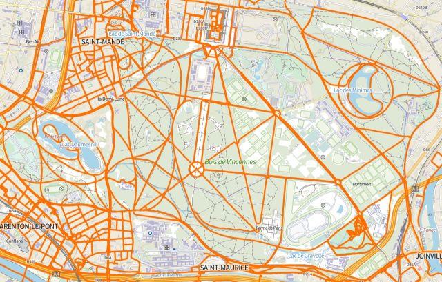
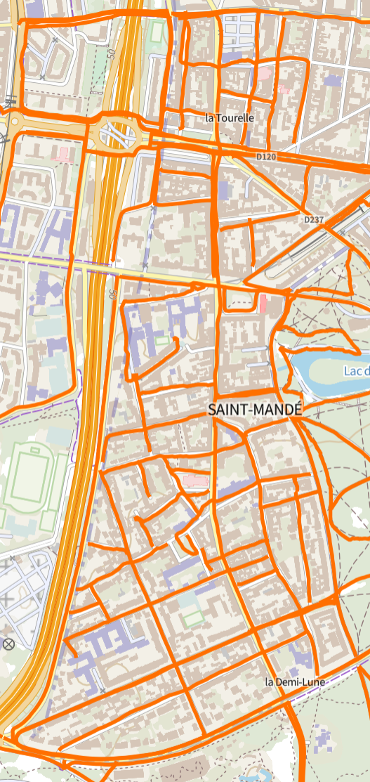
A great screenshot by @pauldassori , showing many pieces of software working together.
It shows the iD #OpenStreetMap - editor opened in #Valdivia . A lot of orange dots are visible: these are locations for which panoramax.xyz knows an image for. This #panoramax-instance federates with panoramax.mapcomplete.org, which hosts the images made with mapcomplete.org
As Awo (osm.org/user/Awo) has added many pictures with @MapComplete , a lot of pictures are shown!

MapComplete - editable, thematic maps with OpenStreetMap
MapComplete is a platform to visualize OpenStreetMap on a specific topic and to easily contribute data back to it.mapcomplete.org
Hey würde jemand Lust verspüren sich beim Betrieb eines deutschen #panoramax Servers einzubringen? Streetview Photos unter CC und für OSM 
community.openstreetmap.org/t/…
#selfhosting #openstreetmap #fossgis #gistribe #datenschutz #photografie

Deutscher Panoramax Server?
Wenn es um das Problem des Hostens der Bilder geht könnte man vielleicht gucken, dass man die Bilder einfach auf Wikimedia Commons speichert und Panoramax nur als Viewer für die auf den Wikimedia Servern liegenden Fotos nutzt.OpenStreetMap Community Forum
I just tried out the new panoramax integration and it works great! 🎉
Hopefully @everydoor and @streetcomplete consider integrating Panoramax in the future too. (: