Search

Items tagged with: mapping


It took almost 9.5 years to make 20,000 edits with OsmAnd for OpenStreetMap. Thanks to Quick Action it has recently become easier and faster. But since the introduction of Streetcomplete and especially Mapcomplete, I've been mapping a little less with OsmAnd lately. Let's see how long I need for the next 10,000.

#OSM #OpenStreetMap #Osmand #MapComplete #streetcomplete #mapping #maps


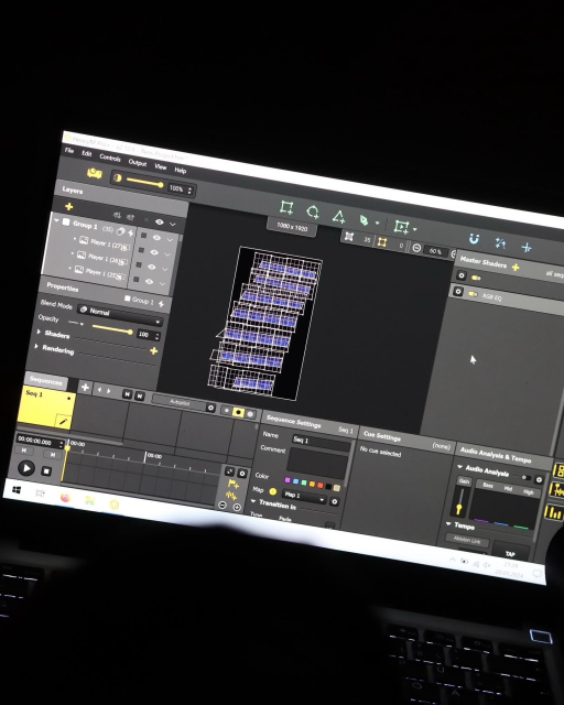
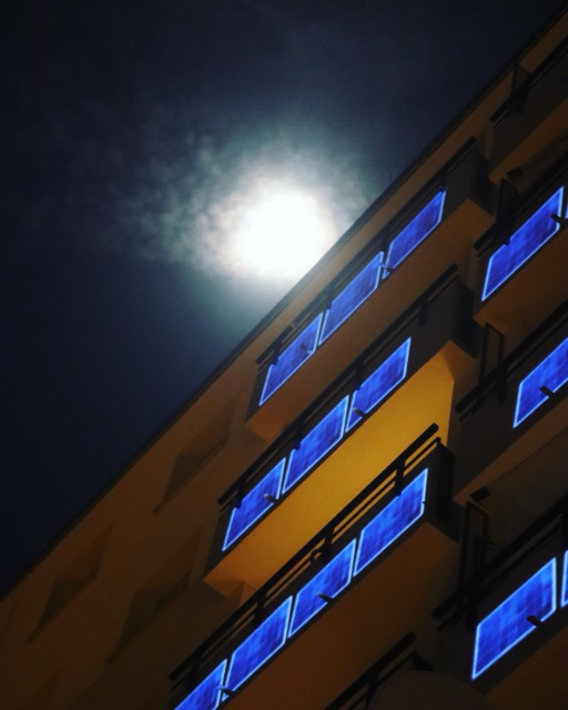
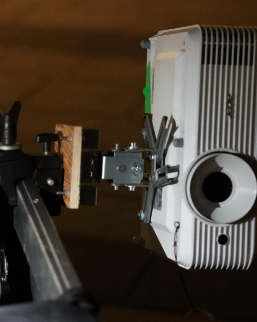
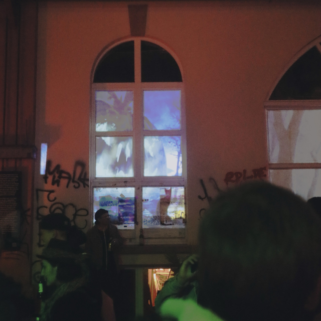
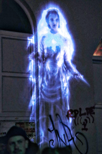
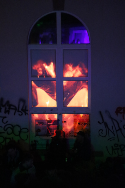
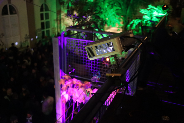
Das #Photonenkollektiv hat im Grether Gelände mit drei Beamern ein #Mapping durchgeführt.

Geniale Effekte und Videos die projeziert wurden, passend zur #halloween Party.

Verblüffend was man mit einem Laptop und drei handelsüblichen Beamern so machen kann. Und macht auch Lust auf mehr.


OpenStreetMap Bengaluru has a mapping party happening next Saturday!

Indiranagar Mapping Party (with Surveillance In Bengaluru and SafeYelli)

Date: 7th October 2023
Time: 8:30AM - 11:30AM
Meeting Point: Indiranagar Basketball Club Grounds
Theme: Mapping CCTVs and Street Lights

RSVP on the OSM Calendar: osmcal.org/event/2357/

For those new to OSM, no prior mapping or OSM experience is needed to participate, so all are welcome to join!

#osm #osmindia #mapping #india


If you're using OSM, either as a blind individual profiting from the available mapping data with one of the navigation apps or as a an OSM contributor, this OSM wiki article could be interesting as it explains how to map the world with blind users in mind. It explains specialty tags, some of which I had no idea existed, suggests tools for data entry and introduces the Blind OSM project. #OSM #GPS #Navigation #Mapping #Accessibility #Blind OSM for the blind – OpenStreetMap Wiki wiki.openstreetmap.org/wiki/OS…


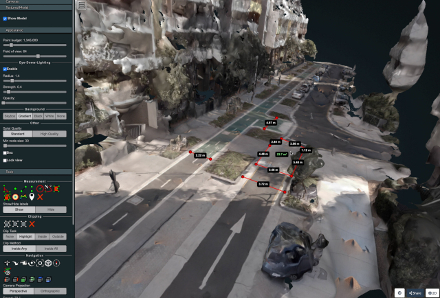
I wrote a technical guide showing how you can create your own orthorectified (aka satellite view/bird mode) imagery, point clouds and 3D models of streets with nothing but a 360 degree camera mounted on bicycle helmet, and the open source photogrammetry software OpenDroneMap.

Why might you want to do this? With your own up-to-date, highly detailed point clouds and imagery you could:
- quantify and communicate inefficient road space allocation
- record necessary infrastructure repairs
- take measurements such as lane and cycleway widths
- measure footpath obstructions in 3D and rate pedestrian amenity
- map kerb features on OpenStreetMap
- survey street parking using the new OSM spec: wiki.openstreetmap.org/wiki/St…
- 3D print a model of your home street!

jakecoppinger.com/2022/12/crea…

#openstreetmap #opendronemap #maps #photogrammetry #curb #kerb #parking #cycling #urbanism #mapping


📣 Awesome #Job Alert!!! 📣 (boosts appreciated)

We're hiring.

We're looking for a Senior Software Engineer for #Terraso. Full remote work on an #opensource project with a mission to help landscape communities organize for the #environment and #SustainableDevelopment.

In the coming months we're building #mapping, #DataCollection and learning tools.

Honestly its such a cool project. Every day I go to work with wonderful people and try to save the world. Come work with me.

Check it out! jobs.lever.co/TechMatters/cea5…

Also learn more:
- terraso.org
- landscapes.global

⇧