Search

Items tagged with: OpenStreetMap


For our (small) master dissertation about #education (but mostly because we are interested), we are doing research about using #OpenStreetMap within #secondary education (roughly 12 - 18 years old, but with a focus on 16 - 18 years old).

The long-term goal is to create a usable #lesson where pupils go out and map using a data collection app. If you have any experience with this, would you be so kind to spend 10 minutes of your time to fill out the survey?

framaforms.org/use-of-gis-or-o…


Tři postřehy z povodní

Letošní velké povodně se naší rodině vyhnuly. Přesto jsem jejich průběh sledoval, protože v zasažených oblastech jsem měl vzdálenější rodinu, kolegy, známé. Jak už to u takových tragických událostí bývá, vyvolaly celou řadu diskusí: o schopnosti krajiny zadržovat vodu, budování přehrad, polderů atd. Mě ale pohledem ajťáka zaujaly tři věci.

#opendata #OpenStreetMap #povodně #povodne2024 #sociálníSítě

blog.eischmann.cz/2024/09/18/t…


I've recently taken to adding a direction tag to benches in #OpenStreetMap. My convention is that the tag value corresponds to the direction of view.

Delighted to find that @vespucci_editor now shows (single) direction values, but wished I'd known about the whizzy direction tag gadget which uses the phone's compass yesterday. (It's a bit too clever if adding the values in retrospect.)


Having the wedding at #Chříč brewery was a good opportunity for proper survey for #OpenStreetMap
Yes, I am turning more and more into a #nerd...


@fabianstadler Everything is #OpenStreetMap data, so someone added it. You can see the history of an object if you log in and press the green OSM-logo.

And if you know of missing vending machines, you can add them yourself too - that is why the button 'add new feature' is there ;)


Did you know? mapcomplete.org supports hotkeys. Our favourites are:

P (and shift+P) to select a Picture-based background, M (and Shift+M) for a map (not based on OSM), and O for an #OpenStreetMap based one. Backgrounds are curated by the editor layer index.

And of course, Ctrl+F selects the search bar. Btw, a big improvement to search is coming soon.

For more hotkeys, check the 'Hotkeys'-page in the menu


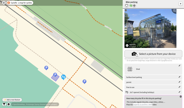
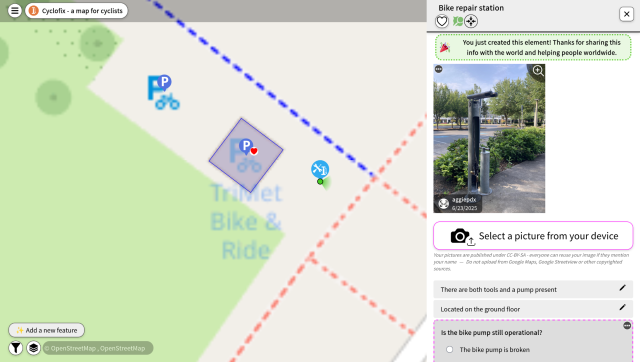
A small Belgian NGO has collected data about bicycle parkings, but they now want to import their bicycle parking data into #OpenStreetMap

Care to help a bit? It is a big game of geo-sleuthing ;)

It can be done by:

1. Open mapcomplete.org/velopark
2. Search a yellow icon - it is a bicycle parking to import
3. Figure out if it still exists and where exactly it is located
4. Link or create a new bicycle parking
5. Update attributes

Rinse and repeat! Happy mapping and thanks for helping!


🗺️ One of the things I try to do when on the island (or anywhere remote) is update OSM with new amenities, or delete ones that have closed.

I’m using Every Door at the moment. It works, but pretty it is not. Alternatives? Anyone? every-door.app/

#osm #openStreetMap


Another small update that dropped a few days ago: the "hotels"-theme now supports more then just hotels, but also B&Bs, guest houses, motels, hostels, ...

This makes it easier to consult and add this information to #OpenStreetMap

mapcomplete.org/hotels.html


Since a few weeks, MapComplete has a new thematic map: mapcomplete.org/circular_econo…

This map is for all things free and reuse, such as second hand shops, bicycle repair workshops, repair cafés, public bookcases, ...

The end goal is to have support for all features mentioned on wiki.openstreetmap.org/wiki/Wi…, but that is still a lot of work - for which all help is appreciated! If you know a bit about #OpenStreetMap tagging, create a layer on mapcomplete.org/studio and create a layer!


Cela m'a pris pas mal d'heures de travail, mais je suis fière d'avoir contribué parallèlement à #OpenStreetMap (#OSM) et à #WikimediaCommons en y ajoutant les #sculptures installées dans le #parc devant l'Eglise de #Giubiasco (#Bellinzona).
Je ne comprends pas, par contre, pourquoi il n'y a aucun site web qui fait la promotion de ce #patrimoine artistique...

Les #photographies sont à voir ici:

commons.wikimedia.org/w/index.…

#art #Ticino #Tessin


the map is open-source, but be aware that #Locus as app is not.
IMO this is not necessarily a bad thing, software developers have to earn money.
Another great (not #FOSS) app for navigation during sport activities (#running, #cycling, #trekking, etc.) is IMO #komoot : komoot.com
It also uses #openstreetmap data

Edit: OsmAnd is opensource, thx for telling me


I finally started to fill data in to #OpenStreetMap.
At first I just looked at how several features are already tagged, then slowly started to correct wrong data and then add missing details.
I use #StreetComplete app to add details on walk travels,
#OsmAnd app to add POIs and of course the iD web editor for larger edits.
I am especially impressed by the iD editor. It's so helpfull with clever use of autocomplete and linking to #OSM wiki...
The best reward is 3D view becoming more realistic...


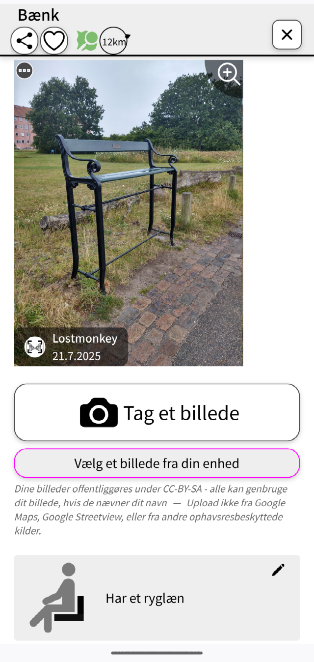
For what it's worth mapcomplete.org/benches.html makes it pretty easy to add images to #OpenStreetMap objects.

I thought @MapComplete had a carousel of nearby WikiMedia images for easy crosslinking but it's not showing up for me for the themes that I thought had it.

Edit: there's a "browse and link nearby images" button much further down the form.


Přispívání do OpenStreetMap: chytání „pokémonů“ se StreetComplete

V dalším díle seriálu o přispívání do OpenStreetMap se věnuji tomu nejméně náročnému způsobu – doplňování informací k již existujícím objektům. Dozvíte se, jak na to ve skvělé aplikaci StreetComplete.

#MapComplete #mapy #OpenStreetMap #OSM #StreetComplete

blog.eischmann.cz/2024/07/24/p…


Záleží co tě zajímá případně co tě trápí. Pokud si na něco netroufáš, nebo nevíš jak danou věc opravit, můžeš se zeptat. Buď tady (pár nás tu je - já třeba sleduji tagy #OSM a #OpenStreetMap ) případně máme emailovou konferenci a propojené místnosti jabber/matrix/irc/telegram/discord

openstreetmap.cz/komunita


Přispívání do OpenStreetMap: proč vlastně?

Před několika měsíci jsem začal přispívat do OpenStreetMap a celkem mě to chytlo. Rozhodl jsem se tedy napsat seriál článků o tom, v jakých formách lze přispívat. Seriál ale musím začít tím, že napíšu o tom, proč vlastně přispívat a kde všude může být vaše práce vidět.

#Mapbox #Maptiler #mapy #OpenStreetMap #OSM #Strava #Sygic #TomTom

blog.eischmann.cz/2024/07/16/p…


Unfortunately, I was in the middle of a short editing session when the OSM outage (apparently due to a #DDoS) occurred. So I’m keeping my tab with iD and my pending changes open (hopefully not needing to rely on LocalStorage). I wish I had used #JOSM so I could save my session to a local file, but I was on a laptop without JOSM.

en.osm.town/@osm_tech/11276717…

#OpenStreetMap


Habe gestern einmal ein paar Anregung hinsichtlich der Verbesserung der Zugänglichkeit einiger Elemente in der App #OsmAnd ans Entwicklerteam gemailt, bin mal gespannt.
@radiorobbe hat die App unter
schulle4u.github.io/awesome-an…
aufgenommen.
Ich könnte ja mal einen Text zu besagter App und #OpenStreetMap generell verfassen, der dann auf droidblind.de veröffentlicht werden könnte ...


Dass sind mir die liebsten Meilensteine bei #streetcomplete

Jede Information macht die #openstreetmap Karte besser, aber Informationen zur Barrierefreiheit sind sehr nützlich.

Vielleicht sind bald Routings für Blinde und Rollifahrer möglich.

Wobei niemand vergessen sollte:

Wenn du lange lebst dann wirst du Behinderungen durch Alter oder Krankheit bekommen und auf Barrierefreiheit angewiesen sein.
#scee


La ville de #SaintLaurentLaSalanque vient d'inaugurer un passage piéton arc-en-ciel 🌈 en faveur du mouvement #LGBT

Malheureusement vandalisé quelques jours plus tard, cette triste médiatisation est l'occasion de pouvoir le renseigner dans #OpenStreetMap grâce au thème @MapComplete suivant :

mapcomplete.org/rainbow_crossi…

Ça en fait au moins 3 dans les #pyreneesorientales


@pietervdvn

Data is from #OpenStreetMap, so it's already crowd-sourced.

Last time I checked, creating themes for @MapComplete got extra hard. Has that changed in the last year?


Have you seen the "Sustainable Map", which renders #OpenStreetMap data focusing on features related to #sustainability ?

sustainable.zottelig.ch

You'l find data features on: Publicly accessible
Free of charge, Social
Environmentally friendly production, Organic, Seasonal, Vegetarian
Environmentally friendly packed, Unpacked, Zero waste
Fair trade
Short transport distances, Regional
Sharing, Lending
Repair
Reuse
Recycling
Community, Participation


Sunny day, good opportunity to cycle with the kids. We found a nice #openstreetmap sign for bikes.

Good attribution Which is also nice.