Search

Items tagged with: MapComplete


One category that is missing from #Mapcomplete is ‘repairs and construction’, since it is not unusual to find old houses being demolished, streets under repair or even cycle paths closed due to temporary changes... and it cannot be said that this is not essential.

@MapComplete

Una categoria que todavia no encuentro en MapComplete es la de "reparaciones y construccion", pues ya no es tan inusual encontrar viejas casas en demolicion, calles cerradas por renovacion o ciclovias cambiantes... y no son cuestiones que podamos decir que no sean relevantes


From now on, translate.mapcomplete.org supports logging in with #OpenStreetMap (with the source code repository as intermediate step).

This means one less account to manage!

Thanks to all the translators for providing translations. And of course, feel free to join the #translation effort to get #MapComplete into your language.


EDIT: maintenance is done

The #Panoramax instance for #MapComplete might have some downtime tonight as @thibaultmol will be changing some configs and stuff. It might only take 5 minutes. it might also take an hour. Should start around 19:30 Brussels time.

This means that image uploads will temporarily fail, but the images you take should be re-uploaded automatically on your next visit to MapComplete.


Even on the night before the party, we were agonizing over the perpetual question - what editor to teach to newcomers?

And after the workshop and the latest mapping party, I think I have a new and improved idea.

  1. We always introduce #CoMaps (and earlier Organic Maps) to newcomers, focusing on it as a means of using OSM. But we avoid using its editor - offline data can be confusing and (in the presence of concurrent editors) can more easily lead to duplication.

But if we want people to recommend CoMaps to other, less technical people…they may want the latter to be able to add places without installing another app.

  1. I have long admired StreetComplete’s gamified interface, but always figured that it would cause issues in a mapping party.

But perhaps we can incorporate it after all? The people it is most likely to cause issues for are the #Vespucci users, and they are experienced enough (and Vespucci’s tooling is good enough) to handle upload conflicts.

Another issue is that if a user adds some data using a #StreetComplete layer, it takes time for quests to appear for it.

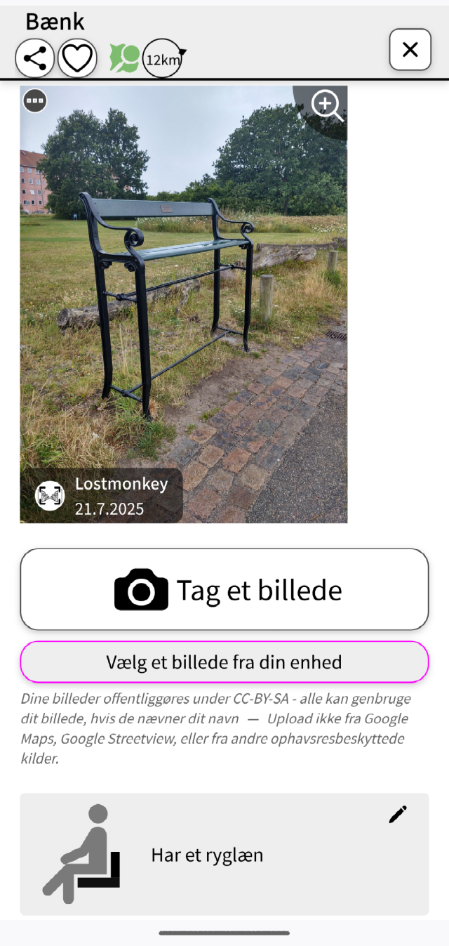
  1. #MapComplete is good because it puts together the things people coming from Google Maps often expect from OSM - map data, photos, and ratings+reviews. The questions and the photo-taking may also add some variety and fun, and the photos also help other mappers verify the data and add details.

So here’s the new idea -

  1. We practice adding 1-3 POIs with CoMaps. There may be duplication, but that’s okay, we (the organizers) will clean it up later as we usually do.
  2. Then, we add 5-10 POIs with MapComplete.
  3. Finally, we try out StreetComplete to add more details to the streets and POIs. We will use SC’s team mode to divide quests between people on the same team.

I’ll test the viability of this process soon.

(Vespucci will go back to being an editor for regular participants.)

#OpenStreetMap #OSM #contraMaps


As you might know, we have an #Android app version of #MapComplete in the works, which makes it even easier to see and edit #OpenStreetMap

After a bit of initial testing, we are opening up the test program to our followers here on Mastodon.

If you want to join the beta testers, send an email to info@mapcomplete.org

Any issues? Head over to mapcomplete.org/issues


Mapcomplete.org ist getting better and better.

A few days ago I discovered that its possible to add manmade bird nests. I was standing near a stork's nest when I found the topic. And directly added a picture.

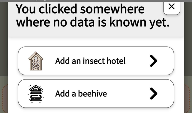
I also found by chance that beehives can be added. And that there are also viewpoints to add under the theme of nature.

It would be nice if there was some information and not find by chance.

something new thats still hidden under some Theme?

#MapComplete #openstreetmap #osm


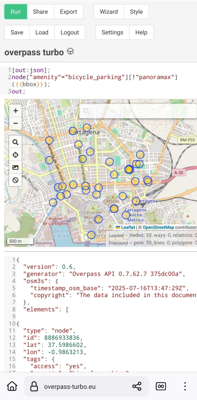
I am uploading pictures (#PanoramaX), as well of other details, in the bicycle parking theme of #MapComplete. I like to take the pictures and upload several afterwards.As sometimes I didn't remember whether a bicycle parking has already pictures or not I find useful this simple overpass(overpass-turbo.eu/)that shows you which ones in an area lack them.

I share it JIC anybody find it useful:

[out:json];
node["amenity"="bicycle_parking"][!"panoramax"]({{bbox}});
out;
#OpenStreetMap


Been adding restaurant ratings and reviews to Mangrove Reviews @mangroveReviews using MapComplete @MapComplete

I’ve written 6 so far, and there’s more to come! Plenty of WIP drafts to finish 🙂

This really plays to my strengths, combining my love for

  • writing,
  • improving OpenStreetMap, free data, and freedom-respecting software,
  • reviewing (as a child, I liked to review the theatre I watched with my parents…my parents and their theatre friends would often ask me for my review after the show, and would listen to me intently 🥺)
  • …and trying new things to eat and drink!

If you like my open data reviews and photos, please support me on Liberapay! I need to be able to afford eating out to continue reviewing 😅

PS MapComplete currently removes all line breaks from the reviews it displays (which breaks things like paragraphs and bullet lists), and Mangrove Reviews truncates the text of the reviews it displays. So there’s no perfect way to view the reviews right now…I’ve let the developers know about these issues and they will hopefully fix them soon.

#MangroveReviews #MapComplete #OpenStreetMap #OSM #FreeSoftware #Libre #FreedomRespecting #OpenData #LibreData #India #Delhi


It took almost 9.5 years to make 20,000 edits with OsmAnd for OpenStreetMap. Thanks to Quick Action it has recently become easier and faster. But since the introduction of Streetcomplete and especially Mapcomplete, I've been mapping a little less with OsmAnd lately. Let's see how long I need for the next 10,000.

#OSM #OpenStreetMap #Osmand #MapComplete #streetcomplete #mapping #maps


This is a nice point of view! ✌️

#streetcomplete is indeed a great way. // @streetcomplete
#MapComplete has no app but it also runs like a charm if you make a starter with your browser app // @MapComplete

Both have different approaches and are very active developed. So, start mapping for #osm 🙂


When I started mapping the first additions in the OsmaAnd app for Openstreetmap at the end of 2015, I never thought I would make 1 million changes. Entered in OsmAnd and then in Potlach2 (because it was beginner-friendly). Then later iD and other apps. Like Mapcomplete, Streetcomplete or Everydoor. 1
I can only recommend just getting started.

#osm #OpenStreetMap #osmand #MapComplete #streetcomplete #EveryDoor #Karten #Landkarte #map #opensource


Looking for vegan places and not a fan of proprietary datasets? #MapComplete has several themes to find (and edit) vegan places, based on #OpenStreetMap data!

The “restaurants and fast food” theme will show most places you might be interested in. If you love fries (like I do), “fries shops” will be helpful for you. And in the “gluten free” and “lactose free” themes, you can filter for vegan places too!

You can also easily edit these places with MapComplete, for example to add details or update incorrect or outdated information. Your changes will be uploaded to OpenStreetMap, which is freely reusable data!

🔗 mapcomplete.org/


We will disable the translations on hosted.weblate in a few weeks and remove the project there as well; once most activity has moved to our instance.

We'd like to thank @weblate for providing the software and for hosting us this long; and of course all the translators who helped to make #MapComplete available in their language! This would not have been possible without all your help.


#MapComplete is one of the tools that will be tested in this dissertation!


You might have noticed already: since a few weeks, #MapComplete has a totally new search experience.

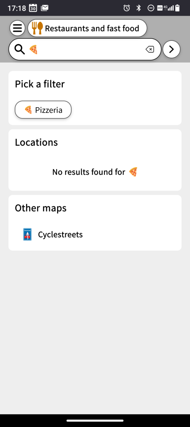
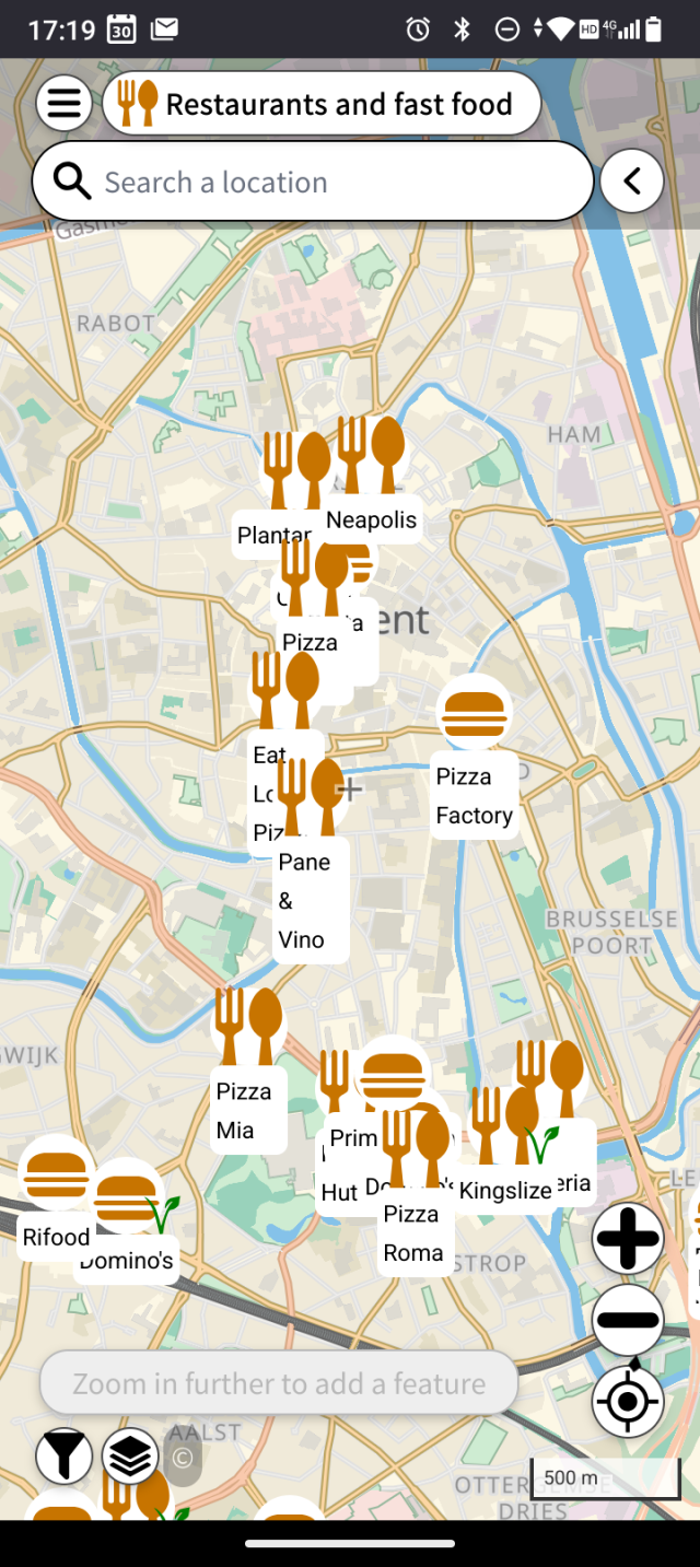
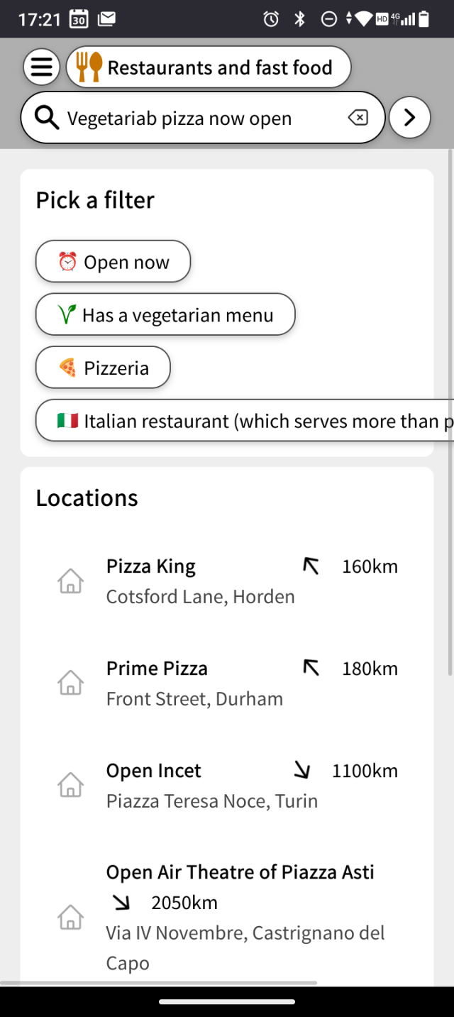
If you search something, the matching locations are shown on the map. If it matches the name of a layer or a filter, you can also opt to show only this layer or to enable this filter. For examplr, on mapcomplete.org/food, one could search for 'sushi' to only see sushi restaurants and then for 'open now'. Or search with an emoji, such as 🍕🍟🥙 or 🍙


Wat ik jammer - maar oplosbaar! - vind is dat er geen #kaart bestaat waarop je zelf met #fiets of #lopend een #route kan uitstippelen die je langs een aantal van deze #kunstwerken brengt.

Het dichtst wat daar bij komt is een kaart van #MapComplete.org waarop kunstwerken staan vermeld maar nu nog erg leeg is. Deze huisjes staan er bijvoorbeeld niet op. Het oplosbare bestaat eruit dat mensen ze wel zelf kunnen toevoegen. 😉 #DenHaag

mapcomplete.org/artwork.html?z…