Search

Items tagged with: openstreetmap


🥵'Fait vraiment chaud, hein ! 🥵
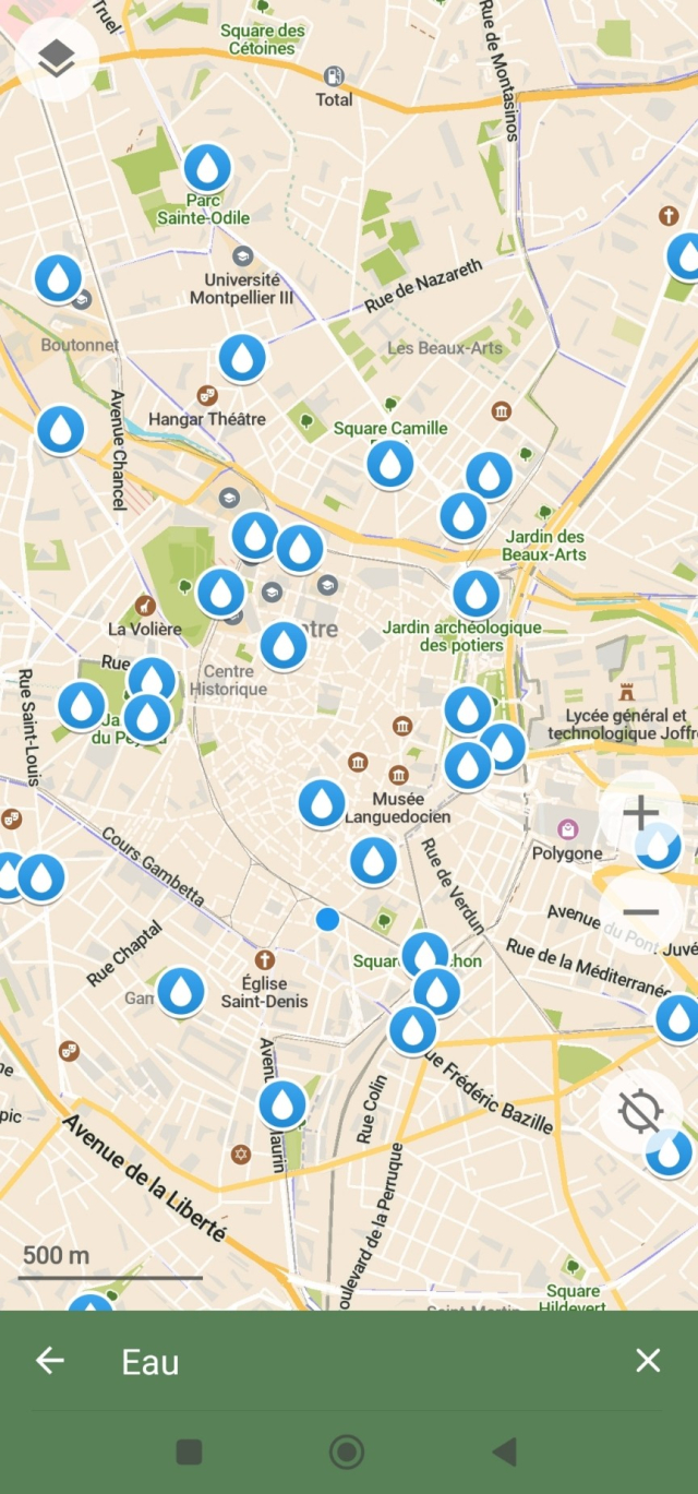
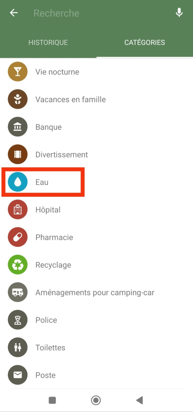
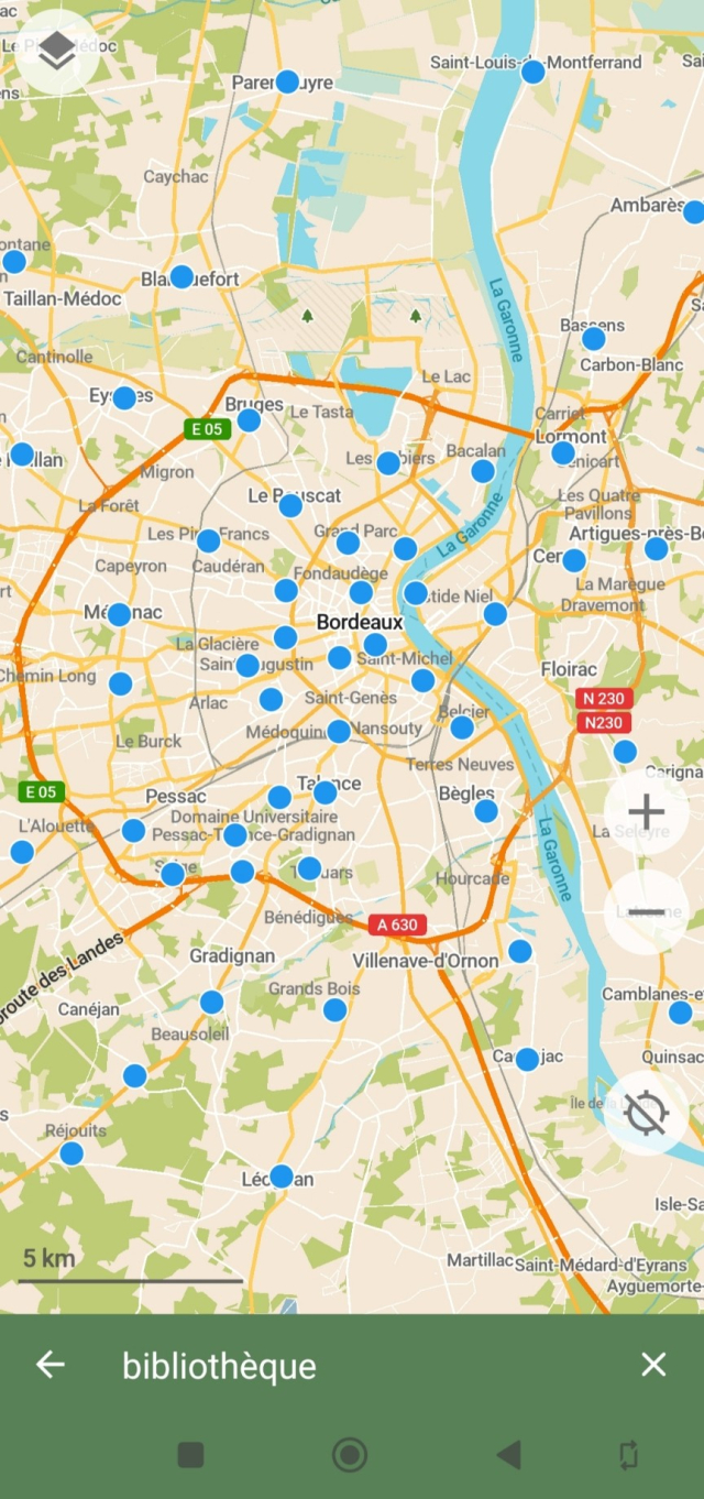
Vite ! L'appli carto #CoMaps à la rescousse ! Elle indique points d'eau💧, bibliothèques📖❄️ et parcs🌳 !
Appli sans pub, sans traçage, fluide et jolie ! Bonus : fonctionne hors-ligne🫨 : téléchargez les cartes chez vous sur votre ordiphone et hop, vous avez accès aux cartes sans internet à l'extérieur !

N'hésitez pas à donner au projet♥️, l'appli est en accès gratuit et repose à 100% sur les dons : comaps.app/donate/

#OpenStreetMap #ServicesPublics
@CoMaps


The street that my mum lives in is a one-way street, but wasn't marked as such on #Google Maps. This caused many drivers to drive the wrong way. I have tried to edit it on Google Maps (there is such functionality), but to no avail. No matter how often I submitted a change (with photos of street signs!), Google said "Sorry, we could not verify it".
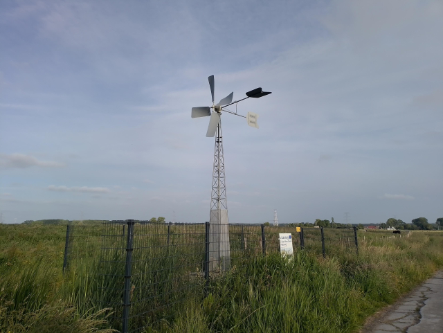
Solution: Edit the street on #OpenStreetMap! A few months after I did this, Google seems to have stolen the data, as it regularly does, and now the street is correct in both datasets!


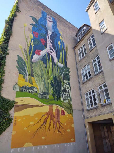
High time to announce my newest project: #PublicArtExplorer
If you are into art and would like to know what outdoor art is available around you (or any other place you are interested in) this app may be for you.
Check it out and let me know what you think.

Already available here: apt.izzysoft.de/fdroid/index/a… and there play.google.com/store/apps/det….
And soon on #fdroid too. #IzzyOnDroid, #art. #OpenStreetMap, #osm


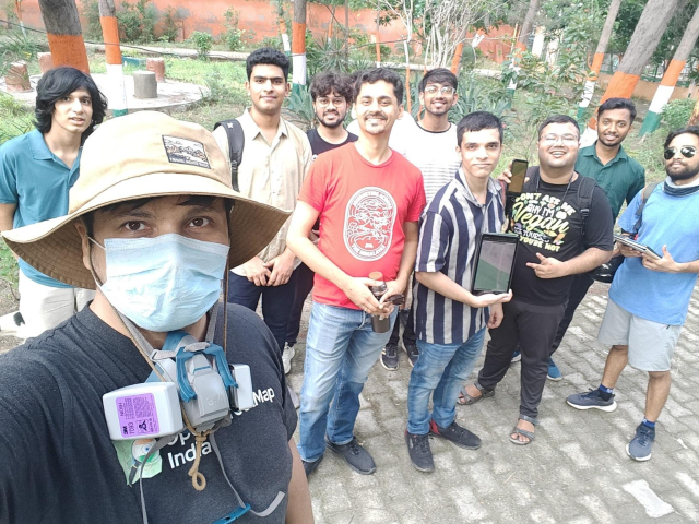
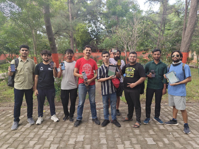
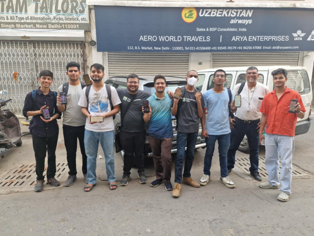
Thank you to all 11 participants for braving the heat and attending the 17th #OSM #Delhi Mapping Party! 🙂

We hope you will join us again to help make #OpenStreetMap better. Each mapper counts!

#OsmNcr #India


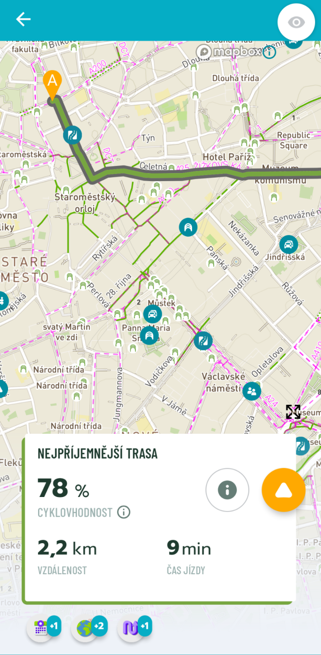
If you ever want to go cycling in #Prague, I highly recommend the "Na kole Prahou" (Prague on Bike) app. It's very similar to my favorite #Cyclers, because they're both made by the same vendor. However, it has notes from the local cycling community and extra features that are useful in Prague. And just like Cyclers it's #OSM based.

While #cycling around Prague, I discovered that it's often the fastest means of transportation. For example, I was able to get from Anděl to Florenc (4 km) in 12 minutes with little effort. For me, it's also the cheapest since both #Rekola and #Nextbike give you 2 one-hour-long rides every day if you have the #Multisport card.

#openstreetmap #biking #commuting


Today's fun with OpenStreetMap and route planners: A route planner for Denmark that refuses to drive on roads named after men.

About 40,000 Danish roads (= 35 % af all Danish roads) have been tagged with name:etymology:wikidata to tag into Wikidata's structured content.

Other ideas for funny restrictions? Roads named after politicians of specific political parties? Roads named after royals? (¡Viva la revolución!) Roads named after Swedes?

#OSRM #OSM #OpenStreetMap


I was searching for an #googlemaps alternative for rating places but based #openstreetmap data

For example the Eifel Tower:
maps.app.goo.gl/9fxtCpPF8WB71Z…

A friend told me about #mapy that does pretty the same with OSM data.
Ofc it is not used that much in comparison to gmaps:
mapy.com/s/kelazoboma

Even if this is a company driven service, I will give it a try.
Do you know about other tools to cover this part of #googlemaps ?

A bit of #unplugtrump might also be a valid reason here.


Hi @MapComplete !

I'm little confused with this... maybe you can help!

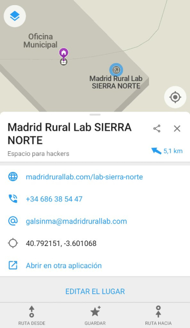
I've created a node for Madrid Rural Lab SIERRA NORTE using the Hackerspaces and makerspaces layer two months ago.
mapcomplete.org/hackerspaces.h…

I see in my changeset in #openstreetmap
openstreetmap.org/changeset/16…
but just in that map or any #OSM web map with any tile it's not shown.

In @organicmaps it's shown while I can't see the photo.

Looking for other makerspace, not edited by me, seems to be same problem
openstreetmap.org/node/1230122…

Maybe OSM does not show #makerspaces? Or maybe we are making some mistake editing?


It took almost 9.5 years to make 20,000 edits with OsmAnd for OpenStreetMap. Thanks to Quick Action it has recently become easier and faster. But since the introduction of Streetcomplete and especially Mapcomplete, I've been mapping a little less with OsmAnd lately. Let's see how long I need for the next 10,000.

#OSM #OpenStreetMap #Osmand #MapComplete #streetcomplete #mapping #maps


Allright, I'm taking the bait...

Any #aviation and enthusiasts around here? For all the _red_ circles, we don't know (yet) what the #aircraft type is. You can easily link the correct wikidata entry (but you need an #OpenStreetMap account)

Or if you live closeby, you can actually add a picture #aviationPhotography

#AVGeek

mapcomplete.org/historic_aircr…

Maybe @Aviation_Librarian or @cvvhrn or their followers can help out?

(Edit: updatet link to official theme)


As a demonstration of the power of OpenStreetMap and links into things like Wikidata, I present my DecomissionedAircraftMap. It pulls geodata for displayed aircraft from OpenStreetMap and generates thumbnails from linked Wikidata entries.

Feel free to link some more, the bot pulls new thumbnails once a day.

github.com/watmildon/Decomissi…

#OpenStreetMap #Wikidata #planes #museum


According to #openstreetmap, there are no Man_made=chimney in #Vatican City... I was wondering where the conclave-#chimney is. Can someone fix?


Vive les écosystèmes libres et ouverts !

@MapComplete permet de relier @osm_fr et @panoramax très facilement.

On sélectionne un objet présent dans #OpenStreetMap qu'on peut compléter entre autre en lui ajoutant une photo.

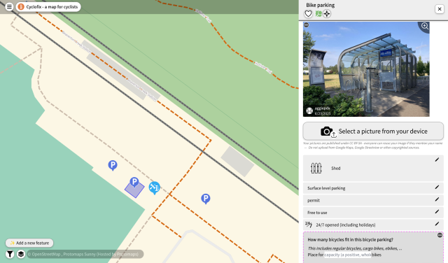
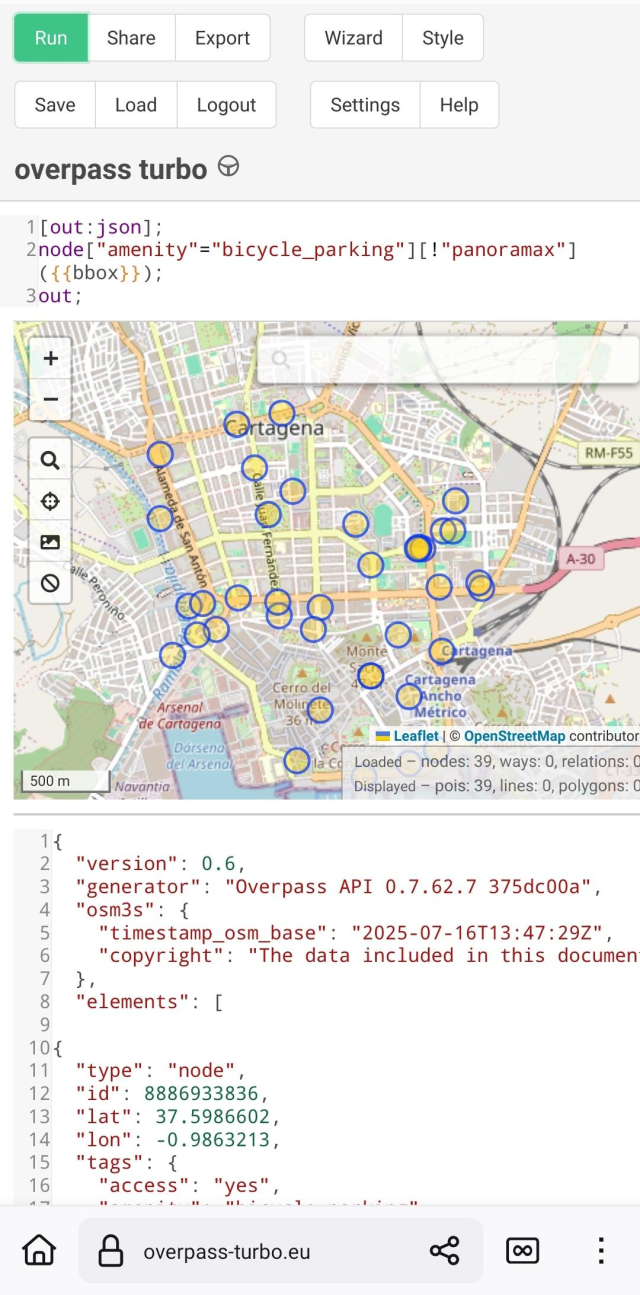
Cette photo est partagée directement sur #Panoramax et un tag panoramax=* est ajouté sur l'objet OSM pour faire le lien.

La carte ci-dessous est faite sur @umap et utilise #Overpass pour afficher les objets OSM avec leur photo associée. #NoCode

umap.openstreetmap.fr/fr/map/p…


I knew @MapComplete could add ratings to Mangrove Reviews...but YIL it can add reviews too! (The OSM POI search on Mangrove Reviews' own site is mysteriously broken.)

In future mapping parties we're _so_ going to be using this to add reviews of the places we eat at! Heck, I've already asked participants of the last two parties to add them 🙂

This information brought to you courtesy of the #OpenStreetMap #XMPP channel - join today 😉
xmpp.link/#openstreetmap@confe…


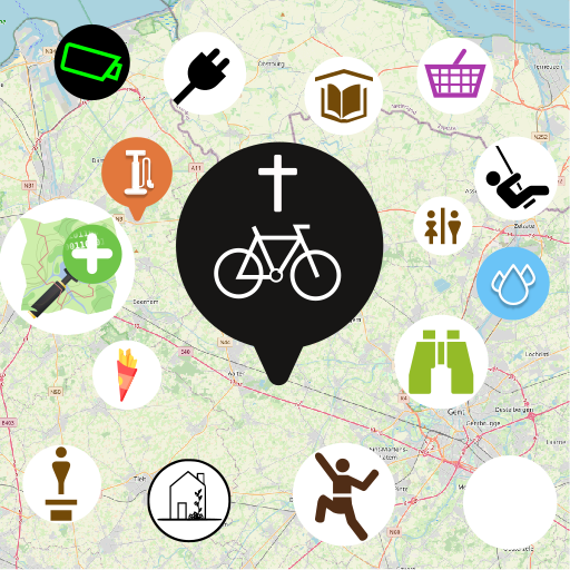
Struggling to make the world a better place? Then how about improving the map of the world by participating in #openstreetmap ?
It's like #wikipedia just for maps. It provides a free and open-source alternative to Google Maps. I use it with #osmandapp for car navigation.

The easiest way to participate is probably with streetcomplete.app
No prior knowledge necessary.
The app guides you to complete missing map data by little quests. Careful though: it's very addictive.


#Mapycz (now #Mapycom) from #Seznam use #OpenStreetMap everywhere except their home country - Czech Republic, where they have their own proprietary maps.
There have been rumours in the #OSM community that they actually copy from OSM. Today I found proof that they really do.
I mapped a new park in #Brno just by surveying and taking notes last year. Later the park showed up on Mapy.com with exactly the same path layout. The new orthophoto is out and it revealed that I didn't get everything right and Seznam got it wrong too. Exactly the same mistakes.

Not cool, Seznam.


Tag 22 im Fediverse - Schau was flattert da in mein E-Mail-Postfach.

Ich oute mich jetzt hier: Ich habe bislang ziemlich viel zu Google Maps beigetragen, weil ich ein großer Fan davon bin, meine Erkenntnisse, Fotos und Informationen mit anderen zu teilen. 🙈

Künftig möchte ich auch hier etwas neues ausprobieren. Gerade habe ich die App "StreetComplete" entdeckt, mit der ich wohl ziemlich einfach zu OpenStreetmap beitragen kann. Gibts im Playstore und auch bei F-Droid.

Ich schaue mal noch, wo ich Renzensionen, Fotos etc. jetzt hinpacke, bin noch am Einarbeiten in OpenStreetmap und freue mich auch auf vielleicht ganz andere Dienste, die da noch auf Ihre Entdeckung warten.

Habt Ihr spannende Tipps, wo ihr etwas beitragt?

nicht mehr ganz so #neuhier
#OpenStreetmap
#StreetComplete
#UnplugTrump


🌏 This Wednesday almost 40 mappers joined a mapathon in Prague. They added more than 2300 buildings into #OpenStreetMap in Bamyan province, Afghanistan, where #msf teams are supporting local communities. Big thank you to all the mappers and organizers for their contributions! 👏

👉 Take a look at some pictures from the event


@april Under 'menu' -> 'download' there are various download options to further process the data; you can embed mapcomplete in an iFrame or create another mapcomplete theme which shows this layer together with other layers.

As usual, all the data is from/goes to #OpenStreetMap, so you are free to reuse the data.


@alan

@MapComplete

This screenshot it's in other browser in Android. Instead at Firefox in laptop. So does not seem a cache problem.

Did noticed that it shows Sal Y Canela restaurant with their correct name I've fixed some minutes ago. It was Canela y Sal and I've edited at #openstreetmap website.

So maybe it's only a problem with removed places.


When I started mapping the first additions in the OsmaAnd app for Openstreetmap at the end of 2015, I never thought I would make 1 million changes. Entered in OsmAnd and then in Potlach2 (because it was beginner-friendly). Then later iD and other apps. Like Mapcomplete, Streetcomplete or Everydoor. 1
I can only recommend just getting started.

#osm #OpenStreetMap #osmand #MapComplete #streetcomplete #EveryDoor #Karten #Landkarte #map #opensource


Máte pár minut volného času, který byste chtěli věnovat na věc sloužící všem? Upravujte #OpenStreetMap ve svém okolí, je to snadnější než tušíte.

Velké firmy jako #SeznamCZ vzali kdysi z OSM vše dostupné (#mapy_cz) a do OSM přestali přispívat.

Je spousta příležitostí, co v OSM aktualizovat: přidat nový obchod, upravit otevírací dobu, přidat odkaz na homepage úřadu, atd. To vše jsou velmi jednoduché kroky v pohodlném online editoru.
#mapy #opensource
Průvodce: wiki.openstreetmap.org/wiki/Cs…