Search

Items tagged with: openStreetMap


Another small update that dropped a few days ago: the "hotels"-theme now supports more then just hotels, but also B&Bs, guest houses, motels, hostels, ...

This makes it easier to consult and add this information to #OpenStreetMap

mapcomplete.org/hotels.html


Since a few weeks, MapComplete has a new thematic map: mapcomplete.org/circular_econo…

This map is for all things free and reuse, such as second hand shops, bicycle repair workshops, repair cafés, public bookcases, ...

The end goal is to have support for all features mentioned on wiki.openstreetmap.org/wiki/Wi…, but that is still a lot of work - for which all help is appreciated! If you know a bit about #OpenStreetMap tagging, create a layer on mapcomplete.org/studio and create a layer!


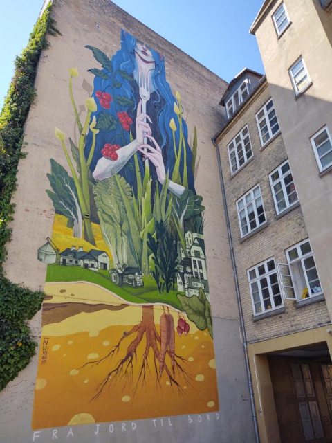
You can also add this on #OpenStreetMap with mapcomplete.org/artwork


Cela m'a pris pas mal d'heures de travail, mais je suis fière d'avoir contribué parallèlement à #OpenStreetMap (#OSM) et à #WikimediaCommons en y ajoutant les #sculptures installées dans le #parc devant l'Eglise de #Giubiasco (#Bellinzona).
Je ne comprends pas, par contre, pourquoi il n'y a aucun site web qui fait la promotion de ce #patrimoine artistique...

Les #photographies sont à voir ici:

commons.wikimedia.org/w/index.…

#art #Ticino #Tessin


Et je découvre ainsi, grâce à un commentaire d'un utilisateur #OSM que:

"Since you’ve added images and their link, the artworks now show up nicely on dedicated web maps, for example @MapComplete /artworks":

mapcomplete.org/artwork?z=18.4…

C'est bô, cela, non? J'ai ainsi l'impression d'avoir vraiment fait une belle contribution
#OpenStreetMap #MapComplete


20 Jahre OpenStreetMap: Auf Augenhöhe mit Google Maps und Apple Maps

Als OpenStreetMap gegründet wurde, kannte es nur eine Handvoll Aktivisten. Mittlerweile ist der Globus fast abgedeckt und OSM nicht nur in Krisen nützlich.

heise.de/hintergrund/20-Jahre-…

#Internet #Kartendienste #OpenSource #Openstreetmap #news


the map is open-source, but be aware that #Locus as app is not.
IMO this is not necessarily a bad thing, software developers have to earn money.
Another great (not #FOSS) app for navigation during sport activities (#running, #cycling, #trekking, etc.) is IMO #komoot : komoot.com
It also uses #openstreetmap data

Edit: OsmAnd is opensource, thx for telling me


I finally started to fill data in to #OpenStreetMap.
At first I just looked at how several features are already tagged, then slowly started to correct wrong data and then add missing details.
I use #StreetComplete app to add details on walk travels,
#OsmAnd app to add POIs and of course the iD web editor for larger edits.
I am especially impressed by the iD editor. It's so helpfull with clever use of autocomplete and linking to #OSM wiki...
The best reward is 3D view becoming more realistic...


Dear AI Companies, instead of sneakily scraping OpenStreetMap.org, how about a tiny $10,000 donation? We'll even throw in a shiny new download link to our entire planet's geo data! Who knew it was that easy? Start here: supporting.openstreetmap.org/d… #win #ai #bots #OpenStreetMap 🌍 🤖 🤑


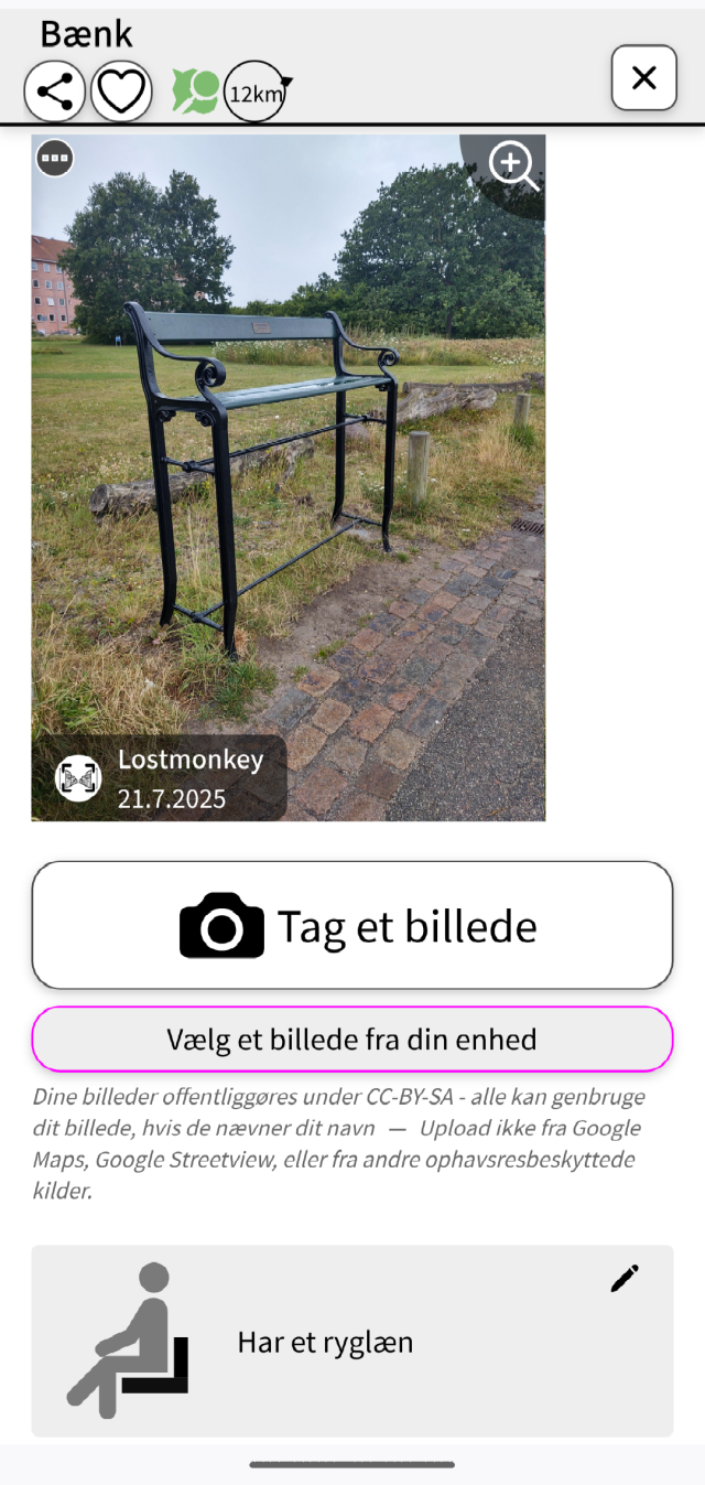
For what it's worth mapcomplete.org/benches.html makes it pretty easy to add images to #OpenStreetMap objects.

I thought @MapComplete had a carousel of nearby WikiMedia images for easy crosslinking but it's not showing up for me for the themes that I thought had it.

Edit: there's a "browse and link nearby images" button much further down the form.


Přispívání do OpenStreetMap: chytání „pokémonů“ se StreetComplete

V dalším díle seriálu o přispívání do OpenStreetMap se věnuji tomu nejméně náročnému způsobu – doplňování informací k již existujícím objektům. Dozvíte se, jak na to ve skvělé aplikaci StreetComplete.

#MapComplete #mapy #OpenStreetMap #OSM #StreetComplete

blog.eischmann.cz/2024/07/24/p…


TIL Bezirk Mitte in Berlin benutzt Umap um Sitzbänke im Bezirk anzuzeigen.

umap.openstreetmap.de/de/map/n…

edit: Link hinzugefügt: berlin.de/ba-mitte/politik-und…

#berlin #OpenStreetMap #Umap #fossgis


Záleží co tě zajímá případně co tě trápí. Pokud si na něco netroufáš, nebo nevíš jak danou věc opravit, můžeš se zeptat. Buď tady (pár nás tu je - já třeba sleduji tagy #OSM a #OpenStreetMap ) případně máme emailovou konferenci a propojené místnosti jabber/matrix/irc/telegram/discord

openstreetmap.cz/komunita


Přispívání do OpenStreetMap: proč vlastně?

Před několika měsíci jsem začal přispívat do OpenStreetMap a celkem mě to chytlo. Rozhodl jsem se tedy napsat seriál článků o tom, v jakých formách lze přispívat. Seriál ale musím začít tím, že napíšu o tom, proč vlastně přispívat a kde všude může být vaše práce vidět.

#Mapbox #Maptiler #mapy #OpenStreetMap #OSM #Strava #Sygic #TomTom

blog.eischmann.cz/2024/07/16/p…


Unfortunately, I was in the middle of a short editing session when the OSM outage (apparently due to a #DDoS) occurred. So I’m keeping my tab with iD and my pending changes open (hopefully not needing to rely on LocalStorage). I wish I had used #JOSM so I could save my session to a local file, but I was on a laptop without JOSM.

en.osm.town/@osm_tech/11276717…

#OpenStreetMap


Zum #SoundMapping habe ich #Radio#aporee gefunden:

aporee.org/
Gibt es im #FediVerse vielleicht jemanden, der die #Plattform nutzt?

#FieldRecording#Audio#Recording#SoundScape#Map#OSM#OpenStreetMap#Noise#Ambient#Geräusche#Naturaufnahmen#StreetSound


Habe gestern einmal ein paar Anregung hinsichtlich der Verbesserung der Zugänglichkeit einiger Elemente in der App #OsmAnd ans Entwicklerteam gemailt, bin mal gespannt.
@radiorobbe hat die App unter
schulle4u.github.io/awesome-an…
aufgenommen.
Ich könnte ja mal einen Text zu besagter App und #OpenStreetMap generell verfassen, der dann auf droidblind.de veröffentlicht werden könnte ...


Dass sind mir die liebsten Meilensteine bei #streetcomplete

Jede Information macht die #openstreetmap Karte besser, aber Informationen zur Barrierefreiheit sind sehr nützlich.

Vielleicht sind bald Routings für Blinde und Rollifahrer möglich.

Wobei niemand vergessen sollte:

Wenn du lange lebst dann wirst du Behinderungen durch Alter oder Krankheit bekommen und auf Barrierefreiheit angewiesen sein.
#scee


La ville de #SaintLaurentLaSalanque vient d'inaugurer un passage piéton arc-en-ciel 🌈 en faveur du mouvement #LGBT

Malheureusement vandalisé quelques jours plus tard, cette triste médiatisation est l'occasion de pouvoir le renseigner dans #OpenStreetMap grâce au thème @MapComplete suivant :

mapcomplete.org/rainbow_crossi…

Ça en fait au moins 3 dans les #pyreneesorientales


@pietervdvn

Data is from #OpenStreetMap, so it's already crowd-sourced.

Last time I checked, creating themes for @MapComplete got extra hard. Has that changed in the last year?


Have you seen the "Sustainable Map", which renders #OpenStreetMap data focusing on features related to #sustainability ?

sustainable.zottelig.ch

You'l find data features on: Publicly accessible
Free of charge, Social
Environmentally friendly production, Organic, Seasonal, Vegetarian
Environmentally friendly packed, Unpacked, Zero waste
Fair trade
Short transport distances, Regional
Sharing, Lending
Repair
Reuse
Recycling
Community, Participation


Sunny day, good opportunity to cycle with the kids. We found a nice #openstreetmap sign for bikes.

Good attribution Which is also nice.


New blog post

ml4711.blogspot.com/2024/05/ma…

#gnome #gnomemaps #openstreetmap #mapstodon


Op 16 mei geef ik een #OpenStreetMap-introductie in #Gent, in Nerdlab: osmcal.org/event/2851/


I will be doing an #OpenStreetMap-introduction in #Ghent on 16 may, in Nerdlab: osmcal.org/event/2851/


I wanted to learn the names of the neighbourhoods in #Ghent, so I made me a #puzzle. I added the neighbourhoods in #OpenStreetMap , then made a custom theme in #MapComplete and use the 'export as PNG'-functuon. The background is a modified stylesheet for @protomaps


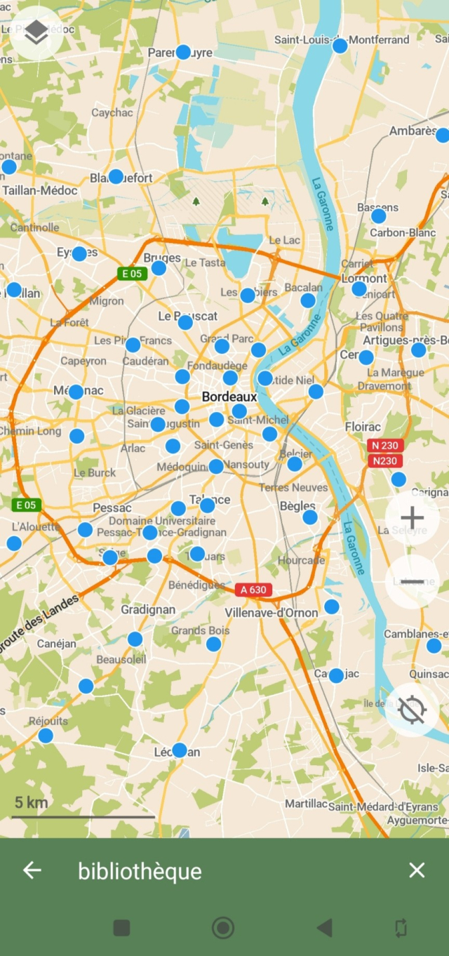
Today's the UNESCO #WorldBookDay! #OpenStreetMap can help you find books.

We map libraries <wiki.openstreetmap.org/wiki/Ta…> (incl. little free libraries <wiki.openstreetmap.org/wiki/Ta…>), and bookshops <wiki.openstreetmap.org/wiki/Ta…>.

Several books have been published about #OSM: <wiki.openstreetmap.org/wiki/Bo…>
We want OSM to be used, so if you need a map for your book, we have very generous & liberal attribution requirements: osmfoundation.org/wiki/Licence… (and can show where to buy your stationary wiki.openstreetmap.org/wiki/Ta… )


#OpenStreetMap just crossed 150 million changesets 🥳

openstreetmap.org/changeset/15…


I am working a talk for DORS/CLUC in Zagreb about #OSM.

My topic is how and why to start contributing to #OpenStreetMap as a total beginner. I'll be showcasing tools such as @streetcomplete , @everydoor, @MapComplete.

I'll be also talking about #gamification, #community, helping projects like #hotOSM and #OpenHistoryMap.

Do you have any tricks or ideas you would like me to include into the talk. How would you encourage a total stranger to start contributing?

dorscluc.org/


🗺️ 𝘖𝘱𝘦𝘯𝘚𝘵𝘳𝘦𝘦𝘵𝘔𝘢𝘱 3𝘋 🧊

demo.f4map.com

Zoom in to street level to see the 3D features.

#map #maps #OpenStreetMap #3D #topography #world #WorldMap #cities #landscape #environment #data #tools #OpenSource #FOSS


Herinnering: volgende week is er #OpenStreetMap -meetup in #Gent: osmcal.org/event/2710/

Iedereen (met interesse in OpenStreetMap) is welkom!


New blog post ml4711.blogspot.com/2024/03/ma…

#mapstodon #gnome #transitous #maps #openstreetmap


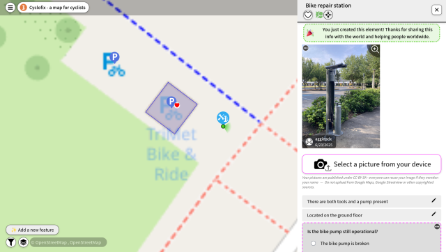
I finally got around to fixing bikehero.io

Use it to find and add bicycle repair stations to @openstreetmap

Basemap now powered by @protomaps

#OpenStreetMap #opensource #opendata #BikeTooter


Hello peuple d'#OSM, si y'a des gens partants pour faire un projet du mois sur les écoles on peut faire ça, on était deux ou trois motivés pour avancer sur ce sujet ici:

forum.openstreetmap.fr/t/proje…

#openstreetmap #écoles #teamProf #cartographie #mapping


Op 29 maart is er een #OpenStreetMap #meetup in #gent
Idereen met interesse in digitale #kaarten, #cartografie #gps-applicaties (zoals bv. #Komoot, #RouteYou, #OsmAnd, ...) is welkom om meer te weten te komen over dit #OpenSource platform.

Alle info op mobilizon.openstreetmap.fr/eve…


Where have you spotted, printed, #OpenStreetMap in the wild? Here is one of my favourites, #Föli bus stop information. They have been using it for years now. #turku #finland
@openstreetmap


@float13 Hehe, kind off, except that the machine was powered of.

However, it is one of the few times that #OpenStreetMap was used for data routing ;)


👉 weeklyosm.eu/archives/17047 👈 Issue 708 of weeklyOSM is out. 🌏 涵蓋 #開放街圖 #osm 世界大小事的新一期 weeklyOSM 已經發佈 🚀 Lisez les dernières nouvelles de l'univers #openstreetmap 🗺️ Viele Neuigkeiten aus der #osm Welt 📰 新一期的OSM周刊已经发布 🌏 Se ha publicado un nuevo número del semanarioOSM 🌐 最新の週刊OSMが発行されました。⛩️ 주간OSM 최신호가 나왔습니다 💬 Тижневик OSM тепер доступний Українською 📲 @openstreetmap@a.gup.pe @openstreetmap@lemmy.ml